


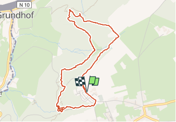

6,2 km | 7,8 km-effort


Benutzer


Kostenlosegpshiking-Anwendung
 SityTrail
IGN / Geografische Institute
SityTrail World
Die Welt öffnet sich für Sie
Tour Wandern von 5,1 km verfügbar auf Unbekannt, Kanton Echternach, Berdorf. Diese Tour wird von micheldutilleul vorgeschlagen.
Départ de l info tourisme de Berdorf.
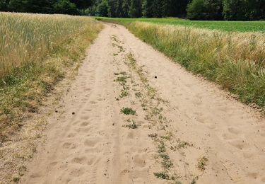
Passage dans la roche à différents endroits.
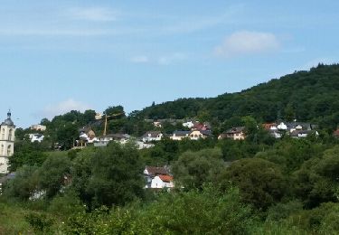
Très beau parcours.

Wandern

Wandern

Wandern
Wandern

Wandern

Wandern
Wandern

Wandern

Andere Aktivitäten