


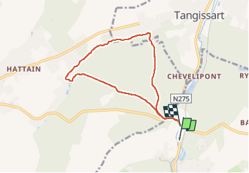

13,3 km | 16,4 km-effort

Benutzer


Kostenlosegpshiking-Anwendung
 SityTrail
IGN / Geografische Institute
SityTrail World
Die Welt öffnet sich für Sie
Tour Wandern von 6,6 km verfügbar auf Wallonien, Wallonisch-Brabant, Villers-la-Ville. Diese Tour wird von ELISECRO vorgeschlagen.
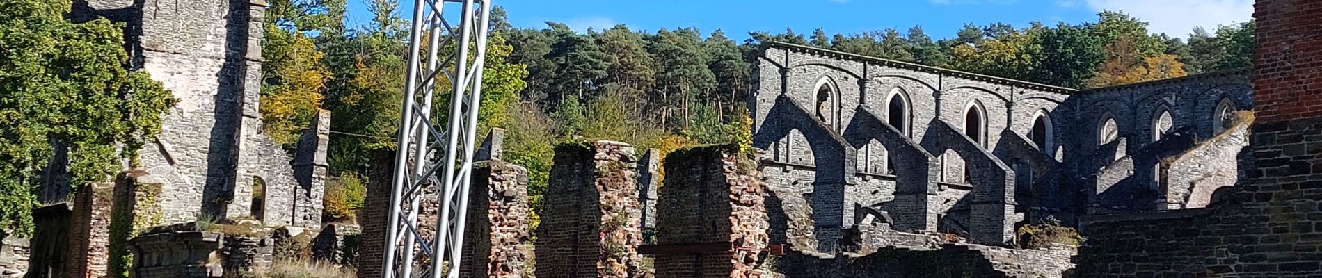
jolis sous-bois MAIS grosses difficultés le long du Ry car les barrages des castors ont élargi le lit du ruisseau et difficile de traverser d'une rive à l'autre
 - Photo 1")
 - Photo 2")
 - Photo 3")

Wandern

Wandern

Wandern

Wandern

Wandern

Wandern

Wandern

Wandern

Wandern