


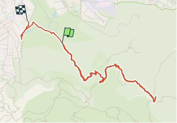

28 km | 35 km-effort

Benutzer


Kostenlosegpshiking-Anwendung
 SityTrail
IGN / Geografische Institute
SityTrail World
Die Welt öffnet sich für Sie
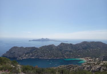
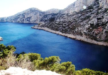
Tour Wandern von 6,7 km verfügbar auf Provence-Alpes-Côte d'Azur, Bouches-du-Rhône, Marseille. Diese Tour wird von ego vorgeschlagen.
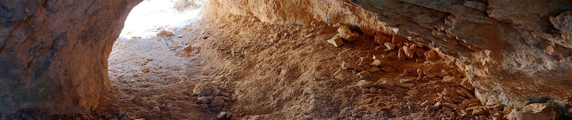
la montée vers le pas du Goéland est un peu technique ,mais non vertigineuse , il faut monter avec les mains pendant 15 mn


Mountainbike

Wandern

Laufen

Wandern
Wandern

Zu Fuß
Zu Fuß

Zu Fuß

Zu Fuß