


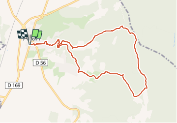

11,3 km | 15,4 km-effort

Benutzer GUIDE


Kostenlosegpshiking-Anwendung
 SityTrail
IGN / Geografische Institute
SityTrail World
Die Welt öffnet sich für Sie
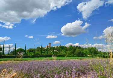
Tour Wandern von 10,7 km verfügbar auf Auvergne-Rhone-Alpen, Drôme, Allan. Diese Tour wird von chancha vorgeschlagen.
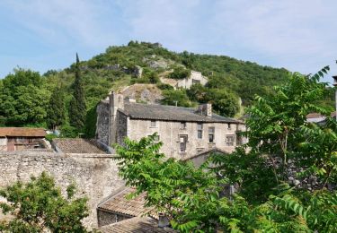
Depuis le village fortifié, partez pour une longue balade à travers les bois, explorer la limite sud de notre territoire…


Wandern

Wandern
Wandern

Mountainbike
Wandern
Wandern


sport
Wandern
Wandern