


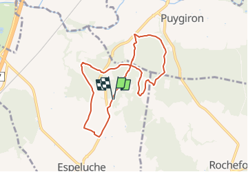

11,3 km | 15,4 km-effort


Benutzer GUIDE


Kostenlosegpshiking-Anwendung
 SityTrail
IGN / Geografische Institute
SityTrail World
Die Welt öffnet sich für Sie
Tour Wandern von 8 km verfügbar auf Auvergne-Rhone-Alpen, Drôme, Espeluche. Diese Tour wird von chancha vorgeschlagen.
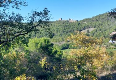
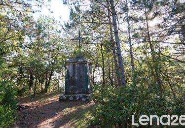
Cette balade au départ d'Espeluche vous en fait decouvrir les alentours avec ses petites routes bordèes de champs de lavandes et ses chemins forestiers.


Wandern
Wandern

Wandern

Wandern

Mountainbike

Wandern

Wandern
Wandern

Wandern