


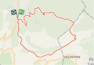


12,7 km | 20 km-effort

Benutzer


Kostenlosegpshiking-Anwendung
 SityTrail
IGN / Geografische Institute
SityTrail World
Die Welt öffnet sich für Sie
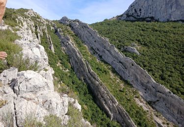
Tour Wandern von 12,5 km verfügbar auf Provence-Alpes-Côte d'Azur, Bouches-du-Rhône, Auriol. Diese Tour wird von Marcsaintcyr vorgeschlagen.
des Encanaux à la crête de la Lare


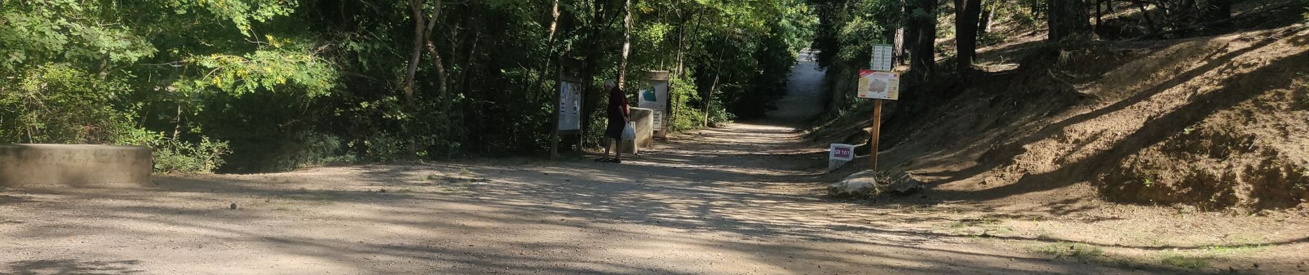
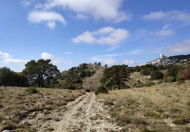
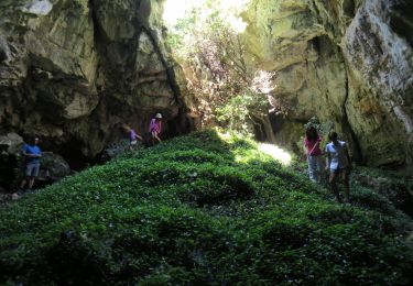
35 Fotos insgesamt. Klicken Sie auf ein Foto, um sie alle in der Galerie zu sehen.

Wandern

Wandern

Wandern

Wandern

Zu Fuß

Wandern
Wandern
Wandern
Wandern