


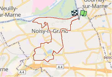

15,9 km | 17,1 km-effort


Benutzer


Kostenlosegpshiking-Anwendung
 SityTrail
IGN / Geografische Institute
SityTrail World
Die Welt öffnet sich für Sie
Tour Wandern von 9,7 km verfügbar auf Île-de-France, Seine-Saint-Denis, Noisy-le-Grand. Diese Tour wird von pkermaidic vorgeschlagen.
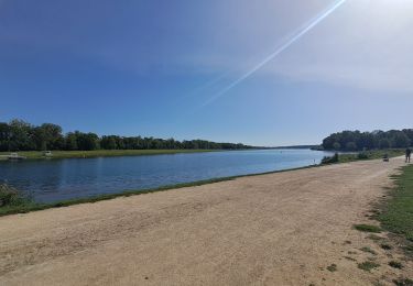
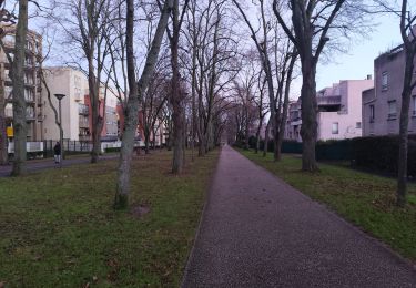
Rando variée pour découvrir Noisy et son urbanisation.
Attention, au niveau du km 9,2 le sentier des Grammonts peut être boueux par temps de pluie
Wandern

Wandern

Wandern

Wandern
Wandern
Wandern

Wandern
Wandern
Wandern