![](/images/other/stat-length.png)
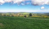
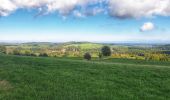
![Tour Wandern Beauraing - Balade à Froidfontaine - Beauraing - Photo](https://media.geolcdn.com/t/1900/400/5bb8ad61-f472-4655-8cc9-b76a6fb0b3d8.jpg&format=pjpeg&maxdim=2)
Balade à Froidfontaine - Beauraing
Desrumaux
Benutzer GUIDE
![Länge](/images/other/stat-length.png)
Länge
7,8 km
![Maximale Höhe](https://static1.geolcdn.com/siteimages/upload/files/1508320355ic_sort_altitude_max_24dp.png)
Maximale Höhe
369 m
![Positive Höhendifferenz](https://static1.geolcdn.com/siteimages/upload/files/1508320355ic_sort_den_pos_24dp.png)
Positive Höhendifferenz
188 m
![Km-Effort](/images/other/stat-length.png)
Km-Effort
10,3 km
![Min. Höhe](https://static1.geolcdn.com/siteimages/upload/files/1508320355ic_sort_altitude_min_24dp.png)
Min. Höhe
281 m
![Negative Höhendifferenz](https://static1.geolcdn.com/siteimages/upload/files/1508320355ic_sort_den_neg_24dp.png)
Negative Höhendifferenz
181 m
![Boucle](https://static1.geolcdn.com/siteimages/upload/files/16400158638029165_repeat_loop_refresh_sync_direction_icon.png)
Boucle
Ja
Erstellungsdatum :
2022-09-30 08:14:17.755
Letzte Änderung :
2022-10-09 14:49:05.061
![Wandern](https://static1.geolcdn.com/sitytour/trail-icons/101.png)
3h33
Schwierigkeit : Medium
![Scannen Sie diesen QR-Code, um die Tour in der SityTrail-Anwendung zu öffnen](https://capi.geolives.com/qq0zvz2zws4bq2lad0pu/sitytour/trails/3408266/qr.png?size=200)
Kostenlosegpshiking-Anwendung
Über SityTrail
Tour Wandern von 7,8 km verfügbar auf Wallonien, Namur, Beauraing. Diese Tour wird von Desrumaux vorgeschlagen.
Beschreibung
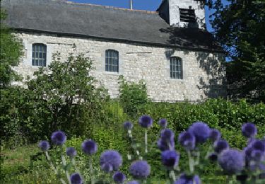
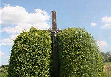
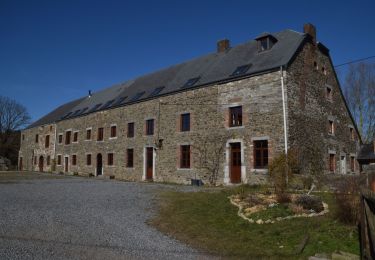
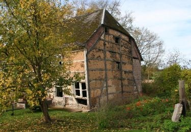
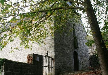
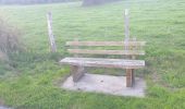
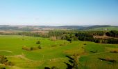
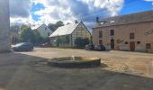
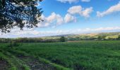
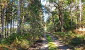
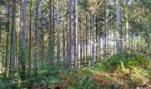
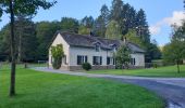
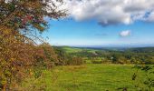
Balade aux confins de la Famenne et de l'Ardenne au départ du joli village de Froidfontaine dans la belle entité de Beauraing.
Ort
Land:
Belgium
Region :
Wallonien
Abteilung/Provinz :
Namur
Kommune :
Beauraing
Standort:
Unknown
Gehen Sie:(Dec)
Gehen Sie:(UTM)
643132 ; 5547261 (31U) N.
Kommentare
Touren in der Umgebung
![Wandern Wandern](https://static1.geolcdn.com/sitytour/trail-icons/101.png)
RB-Na-29_Un terroir d’une biodiversité remarquable
Wandern
Sehr schwierig
(9)
Beauraing,
Wallonien,
Namur,
Belgium
![](/images/other/stat-length.png)
22 km | 28 km-effort
6h 28min
![](https://static1.geolcdn.com/siteimages/upload/files/16400158638029165_repeat_loop_refresh_sync_direction_icon.png)
Ja
![Tour Wandern Beauraing - Nature and landscapes around Pondrôme & Revogne - Photo](https://media.geolcdn.com/t/375/260/ext.jpg?maxdim=2&url=https%3A%2F%2Fservices.sitytrail.com%2FGeolivesWS%2FDownloadMedia.ashx%3FTrailID%3D194872%26Media%3Db26114ed-9694-4d92-b6de-0f7d315a40e9.jpg)
![Wandern Wandern](https://static1.geolcdn.com/sitytour/trail-icons/101.png)
Nature and landscapes around Pondrôme & Revogne
Wandern
Einfach
(8)
Beauraing,
Wallonien,
Namur,
Belgium
![](/images/other/stat-length.png)
8,9 km | 10,7 km-effort
2h 18min
![](https://static1.geolcdn.com/siteimages/upload/files/16400158638029165_repeat_loop_refresh_sync_direction_icon.png)
Ja
![Tour Wandern Beauraing - Nature - Vonêche, the village of the crystal works - Photo](https://media.geolcdn.com/t/375/260/ext.jpg?maxdim=2&url=https%3A%2F%2Fservices.sitytrail.com%2FGeolivesWS%2FDownloadMedia.ashx%3FTrailID%3D193753%26Media%3D04ee9d7e-c29b-4e4d-bbc4-e1fe18c2b7f5.jpg)
![Wandern Wandern](https://static1.geolcdn.com/sitytour/trail-icons/101.png)
Nature - Vonêche, the village of the crystal works
Wandern
Einfach
(6)
Beauraing,
Wallonien,
Namur,
Belgium
![](/images/other/stat-length.png)
5,8 km | 7,3 km-effort
1h 34min
![](https://static1.geolcdn.com/siteimages/upload/files/16400158638029165_repeat_loop_refresh_sync_direction_icon.png)
Ja
![Tour Wandern Beauraing - Nature walk between Pondrôme and Revogne - Photo](https://media.geolcdn.com/t/375/260/ext.jpg?maxdim=2&url=https%3A%2F%2Fservices.sitytrail.com%2FGeolivesWS%2FDownloadMedia.ashx%3FTrailID%3D171081%26Media%3Db26114ed-9694-4d92-b6de-0f7d315a40e9.jpg)
![Wandern Wandern](https://static1.geolcdn.com/sitytour/trail-icons/101.png)
Nature walk between Pondrôme and Revogne
Wandern
Medium
(6)
Beauraing,
Wallonien,
Namur,
Belgium
![](/images/other/stat-length.png)
8,6 km | 10,3 km-effort
2h 0min
![](https://static1.geolcdn.com/siteimages/upload/files/16400158638029165_repeat_loop_refresh_sync_direction_icon.png)
Ja
![Wandern Wandern](https://static1.geolcdn.com/sitytour/trail-icons/101.png)
RB-Na-29-racc-2_Un terroir d’une biodiversité remarquable
Wandern
Sehr schwierig
(2)
Beauraing,
Wallonien,
Namur,
Belgium
![](/images/other/stat-length.png)
19 km | 24 km-effort
5h 20min
![](https://static1.geolcdn.com/siteimages/upload/files/16400158638029165_repeat_loop_refresh_sync_direction_icon.png)
Ja
![Tour Fahrrad Beauraing - Cycle tour : Revogne, Lavaux-Sainte-Anne, Focant, Revogne - Photo](https://media.geolcdn.com/t/375/260/ext.jpg?maxdim=2&url=https%3A%2F%2Fservices.sitytrail.com%2FGeolivesWS%2FDownloadMedia.ashx%3FTrailID%3D249047%26Media%3D089edb7d-e9c7-4430-b50a-c8e7c75c5b5d.jpg)
![Fahrrad Fahrrad](https://static1.geolcdn.com/sitytour/trail-icons/200.png)
Cycle tour : Revogne, Lavaux-Sainte-Anne, Focant, Revogne
Fahrrad
Sehr leicht
(3)
Beauraing,
Wallonien,
Namur,
Belgium
![](/images/other/stat-length.png)
18,1 km | 21 km-effort
1h 3min
![](https://static1.geolcdn.com/siteimages/upload/files/16400158638029165_repeat_loop_refresh_sync_direction_icon.png)
Ja
![Tour Wandern Beauraing - Vonêche & Froidfontaine - Roadbook discovering villages & landscapes - Photo](https://media.geolcdn.com/t/375/260/ext.jpg?maxdim=2&url=https%3A%2F%2Fservices.sitytrail.com%2FGeolivesWS%2FDownloadMedia.ashx%3FTrailID%3D224480%26Media%3D76ca1bf5-83f8-4048-840d-ef75c33c458e.jpg)
![Wandern Wandern](https://static1.geolcdn.com/sitytour/trail-icons/101.png)
Vonêche & Froidfontaine - Roadbook discovering villages & landscapes
Wandern
Einfach
(2)
Beauraing,
Wallonien,
Namur,
Belgium
![](/images/other/stat-length.png)
5,6 km | 6,5 km-effort
1h 33min
![](https://static1.geolcdn.com/siteimages/upload/files/16400158638029165_repeat_loop_refresh_sync_direction_icon.png)
Ja
![Tour Wandern Beauraing - Revogne - Roadbook discovering villages & landscapes - Photo](https://media.geolcdn.com/t/375/260/ext.jpg?maxdim=2&url=https%3A%2F%2Fservices.sitytrail.com%2FGeolivesWS%2FDownloadMedia.ashx%3FTrailID%3D224472%26Media%3Db5550983-8fb8-45be-8d87-be86e79e931a.jpg)
![Wandern Wandern](https://static1.geolcdn.com/sitytour/trail-icons/101.png)
Revogne - Roadbook discovering villages & landscapes
Wandern
Einfach
(3)
Beauraing,
Wallonien,
Namur,
Belgium
![](/images/other/stat-length.png)
4,3 km | 5,2 km-effort
1h 20min
![](https://static1.geolcdn.com/siteimages/upload/files/16400158638029165_repeat_loop_refresh_sync_direction_icon.png)
Ja
![Wandern Wandern](https://static1.geolcdn.com/sitytour/trail-icons/101.png)
RB-Na-29-racc-1_Un terroir d’une biodiversité remarquable
Wandern
Medium
(1)
Beauraing,
Wallonien,
Namur,
Belgium
![](/images/other/stat-length.png)
9,1 km | 10,8 km-effort
2h 27min
![](https://static1.geolcdn.com/siteimages/upload/files/16400158638029165_repeat_loop_refresh_sync_direction_icon.png)
Ja