


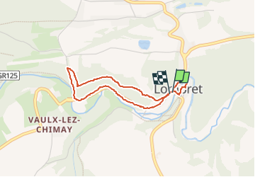

6,5 km | 8,1 km-effort


Benutzer


Kostenlosegpshiking-Anwendung
 SityTrail
IGN / Geografische Institute
SityTrail World
Die Welt öffnet sich für Sie
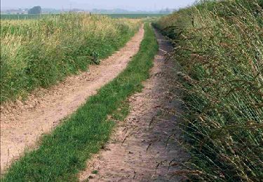
Tour Wandern von 3,1 km verfügbar auf Wallonien, Hennegau, Chimay. Diese Tour wird von Mady Lambert vorgeschlagen.
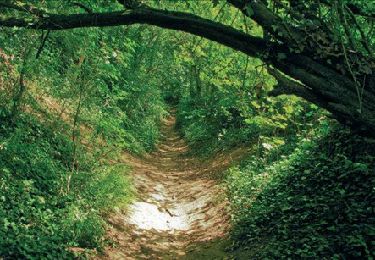
Après un tour très agréable du village, prendre la direction à pied de Vaux, à /- 50 m, emprunter un sentier à droite. Il grimpe fort au début puis on suit la falaise jusqu'à 2 bancs qui dominent la vallée, de là, on continue le sentier jusqu'à une petite route, la descendre jusqu'à une route plus importante, la suivre vers la gauche et revenir au village.


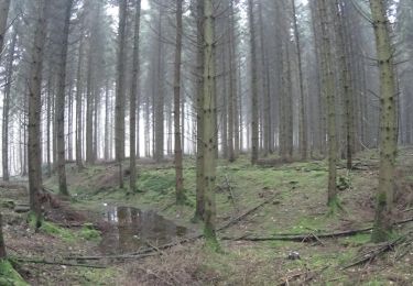
Wandern
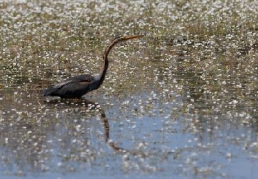
Wandern

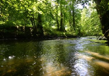
Wandern
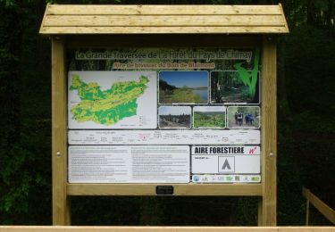
Wandern
Wandern
Wandern
Wandern
Wandern
Wandern