


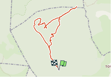

12,6 km | 16,7 km-effort

Benutzer


Kostenlosegpshiking-Anwendung
 SityTrail
IGN / Geografische Institute
SityTrail World
Die Welt öffnet sich für Sie
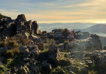
Tour Wandern von 11,2 km verfügbar auf Provence-Alpes-Côte d'Azur, Var, Solliès-Toucas. Diese Tour wird von cousam vorgeschlagen.
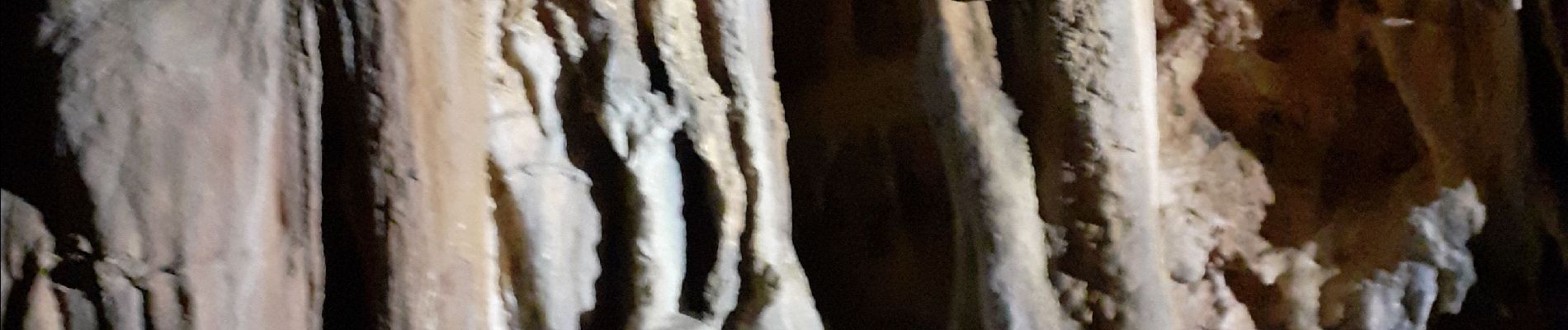
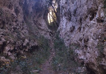
Circuit par l'aven dei lumen (prévoir petite corde frontale) très jolie (concrétions)
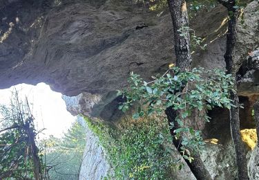
Arche de la garoute
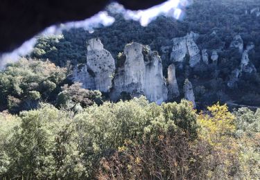
Tête de la Marquise
et l'arche plate (l'hippopotame des Morières)


Wandern
Wandern

Wandern

Wandern

Wandern

Wandern
Laufen
Pfad
Wandern