


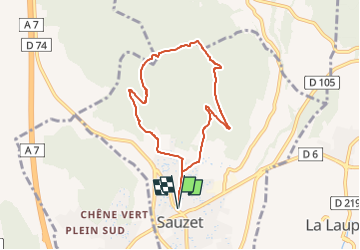

7,3 km | 11,7 km-effort

Benutzer GUIDE


Kostenlosegpshiking-Anwendung
 SityTrail
IGN / Geografische Institute
SityTrail World
Die Welt öffnet sich für Sie
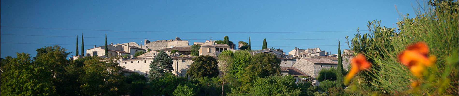
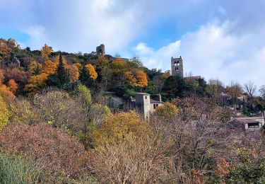
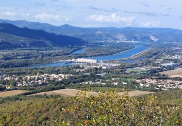
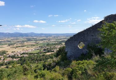
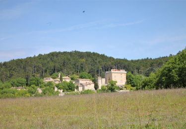
Tour Wandern von 7,3 km verfügbar auf Auvergne-Rhone-Alpen, Drôme, Sauzet. Diese Tour wird von chancha vorgeschlagen.
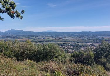
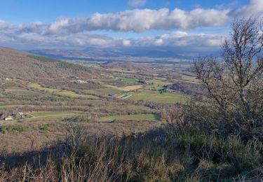
Une belle ascension jusqu'au rocher de Ruas, avec la sensation de dominer la plaine et le panorama dentelé des pré-Alpes…


Wandern
Wandern
Wandern
Wandern
Wandern
Wandern
Wandern
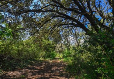
Wandern
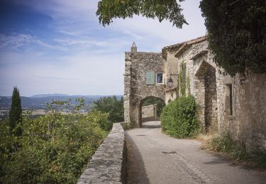
Wandern