


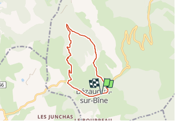

7,9 km | 11,2 km-effort

Benutzer GUIDE


Kostenlosegpshiking-Anwendung
 SityTrail
IGN / Geografische Institute
SityTrail World
Die Welt öffnet sich für Sie
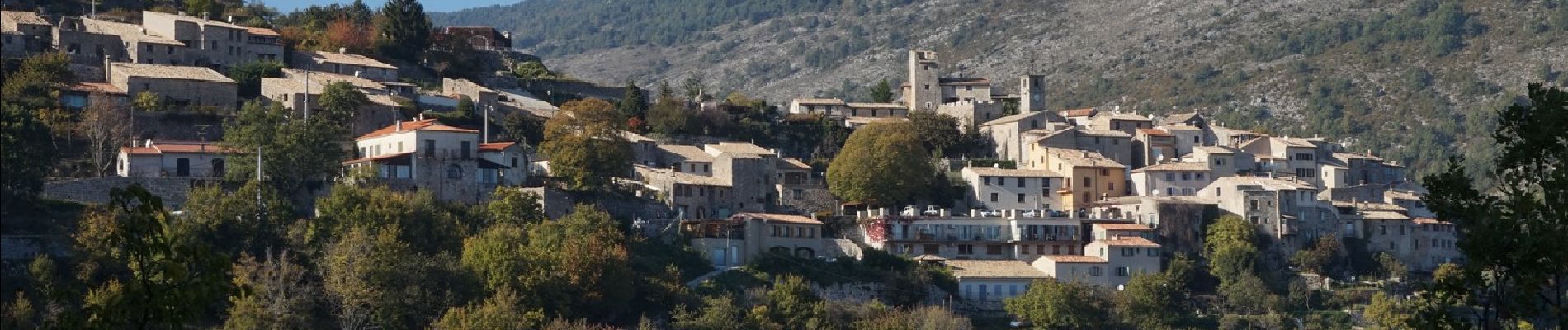
Tour Wandern von 6,1 km verfügbar auf Auvergne-Rhone-Alpen, Drôme, Bézaudun-sur-Bîne. Diese Tour wird von chancha vorgeschlagen.
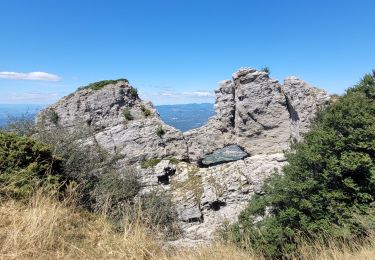
Au pied de la montagne de Couspeau et des Trois-Becs, ce circuit permet de faire le tour du Couguon et de profiter des points de vue dans une nature mêlant les senteurs de lavande, de genêt et de thym.


Wandern

Wandern

Wandern

Wandern

Rennrad

Wandern

Wandern

Wandern
Wandern