


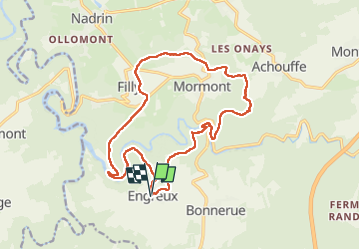


13,4 km | 18,8 km-effort


Benutzer


Kostenlosegpshiking-Anwendung
 SityTrail
IGN / Geografische Institute
SityTrail World
Die Welt öffnet sich für Sie
Tour Wandern von 16,1 km verfügbar auf Wallonien, Luxemburg, Hohenfels. Diese Tour wird von guyernage25 vorgeschlagen.
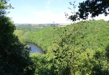
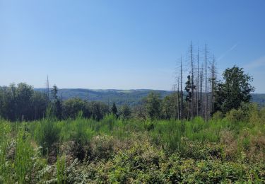
Belle rando autour de l Ourthe Orientale. Belles vues


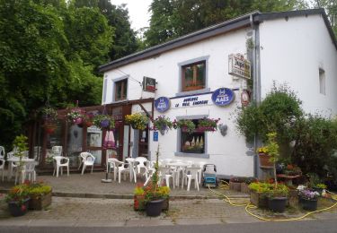
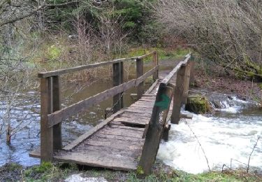
25 Fotos insgesamt. Klicken Sie auf ein Foto, um sie alle in der Galerie zu sehen.
Wandern

Wandern

Wandern
Wandern

Wandern
Wandern

Wandern
Wandern
Wandern