


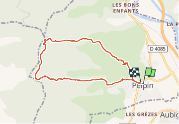

9 km | 17,7 km-effort


Benutzer


Kostenlosegpshiking-Anwendung
 SityTrail
IGN / Geografische Institute
SityTrail World
Die Welt öffnet sich für Sie
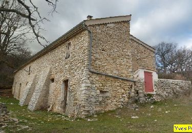
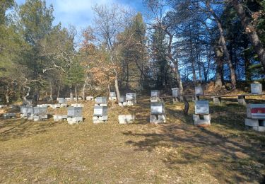
Tour Wandern von 8,8 km verfügbar auf Provence-Alpes-Côte d'Azur, Alpes-de-Haute-Provence, Peipin. Diese Tour wird von JPJ38 vorgeschlagen.
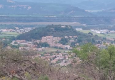
Montée en terrain découvert chemin caillouteux
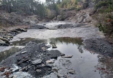
Descente en sous bois, sentier avec feuilles
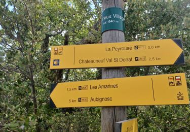
Le temps inclus l’arrêt Pique-nique
Wandern

Wandern
Wandern

Wandern
Wandern
Wandern

Wandern

Laufen
Wandern