


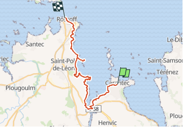

23 km | 28 km-effort


Benutzer GUIDE


Kostenlosegpshiking-Anwendung
 SityTrail
IGN / Geografische Institute
SityTrail World
Die Welt öffnet sich für Sie
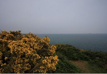
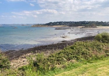
Tour Wandern von 22 km verfügbar auf Bretagne, Finistère, Carantec. Diese Tour wird von donda vorgeschlagen.
GR34 2023
Logis Les Chardons Bleus restaurant le Bistrot de la Mer
4 Rue Amiral Reveillère - Roscoff Tel:02.98.69.72.03
( arrivée 15h00 - départ 10h00/11h00
Andere Aktivitäten
Wandern
Wandern
Wandern
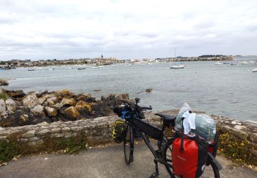
Radtourismus
Wandern
Zu Fuß
Zu Fuß