


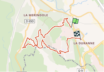

7,7 km | 10,4 km-effort


Benutzer


Kostenlosegpshiking-Anwendung
 SityTrail
IGN / Geografische Institute
SityTrail World
Die Welt öffnet sich für Sie
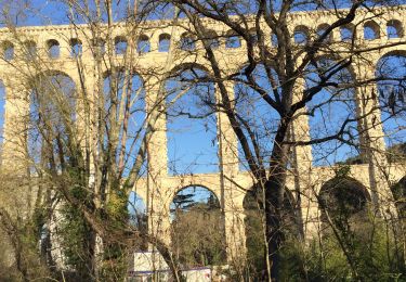
Tour Wandern von 10,6 km verfügbar auf Provence-Alpes-Côte d'Azur, Bouches-du-Rhône, Aix-en-Provence. Diese Tour wird von TESSAVIP vorgeschlagen.
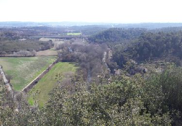
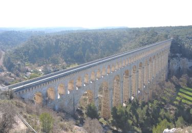
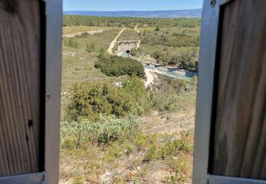
Intéressante promenade sur le plateau et parmi les laboratoires et centres de recherche. Un joli coin de rivière pour un piquenique.
Wandern

Wandern
Wandern
Wandern
Wandern

Zu Fuß
Wandern
Wandern
Andere Aktivitäten