


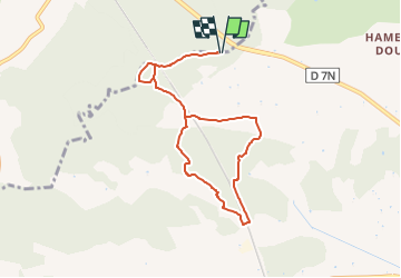

5,2 km | 7,2 km-effort

Benutzer GUIDE


Kostenlosegpshiking-Anwendung
 SityTrail
IGN / Geografische Institute
SityTrail World
Die Welt öffnet sich für Sie
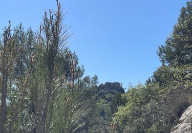
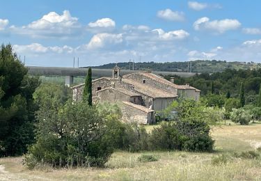
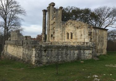
Tour Wandern von 8,4 km verfügbar auf Provence-Alpes-Côte d'Azur, Bouches-du-Rhône, Lambesc. Diese Tour wird von MicDul vorgeschlagen.
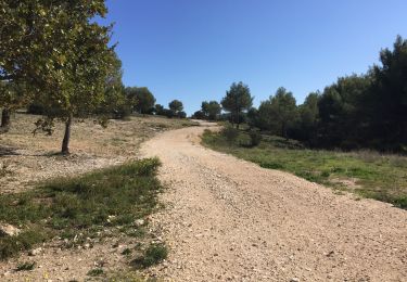
En venant de Mallemort, au rond-point à la sortie de Cazan prendre la deuxième sortie. Dans la montée de Gancel prendre à droite au panneau Domaine de Garachon. Prendre directement à droite et se garer.


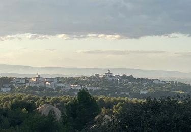
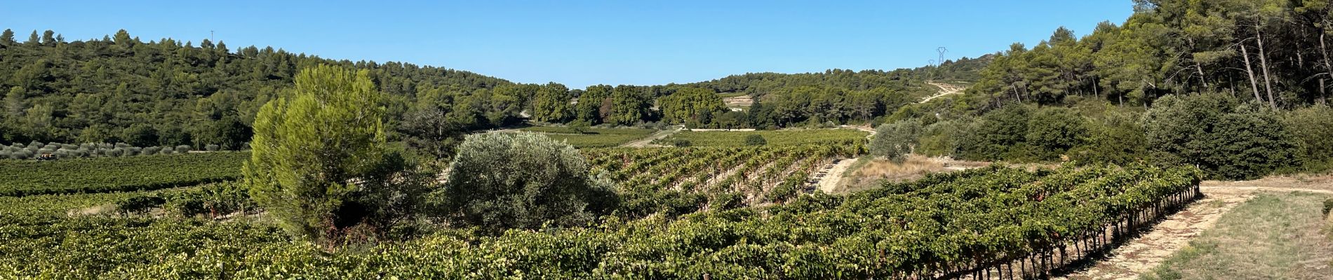
Wandern
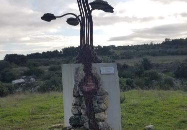
Wandern

Wandern
Wandern
Wandern
Wandern
Wandern

Wandern
Wandern