


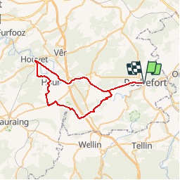


6 km | 7,1 km-effort


Randonnées de la Maison du Tourisme Famenne - Ardenne Ourthe & Lesse PRO


Kostenlosegpshiking-Anwendung
 SityTrail
IGN / Geografische Institute
SityTrail World
Die Welt öffnet sich für Sie
Tour Fahrrad von 45 km verfügbar auf Wallonien, Namur, Rochefort. Diese Tour wird von Maison du Tourisme Famenne - Ardenne Ourthe & Lesse vorgeschlagen.


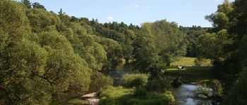
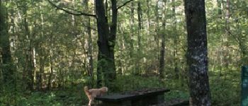
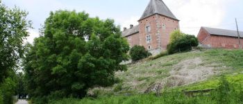
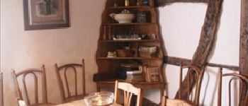
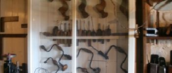
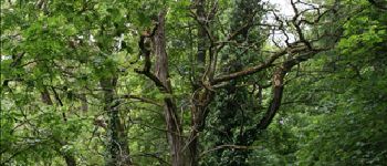
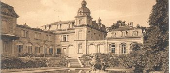
43 Fotos insgesamt. Klicken Sie auf ein Foto, um sie alle in der Galerie zu sehen.

Wandern

Wandern

Motor

Wandern

Wandern

Wandern

Motor

Wandern

Wandern