


24 km | 44 km-effort

Benutzer


Kostenlosegpshiking-Anwendung
 SityTrail
IGN / Geografische Institute
SityTrail World
Die Welt öffnet sich für Sie
Tour Wandern von 23 km verfügbar auf Provence-Alpes-Côte d'Azur, Vaucluse, Bédoin. Diese Tour wird von ETMU5496 vorgeschlagen.
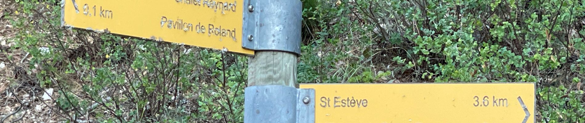
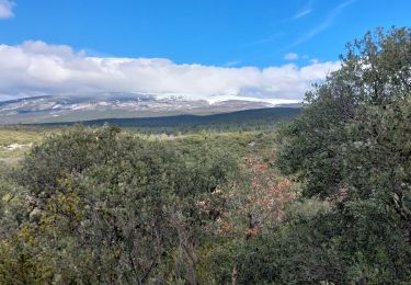
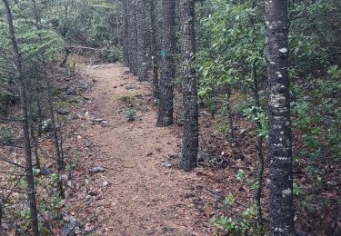
montée assez tranquille jusqu'au hameau Renard puis le sentier de relève jusqu'aux crêtes. Belle vision panoramique ensuite jusqu'au final.


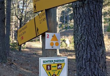
40 Fotos insgesamt. Klicken Sie auf ein Foto, um sie alle in der Galerie zu sehen.

Wandern
Wandern
Wandern
Wandern
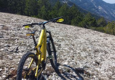
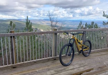
Mountainbike
Wandern
Mountainbike
Wandern
Wandern