

La Fontaine aux Charmes

philippe.vdv
Benutzer

Länge
6 km

Maximale Höhe
74 m

Positive Höhendifferenz
87 m

Km-Effort
7,2 km

Min. Höhe
26 m

Negative Höhendifferenz
87 m
Boucle
Ja
Erstellungsdatum :
2022-09-05 14:15:36.18
Letzte Änderung :
2022-09-05 14:16:16.191
1h37
Schwierigkeit : Medium

Kostenlosegpshiking-Anwendung
Über SityTrail
Tour Wandern von 6 km verfügbar auf Nordfrankreich, Pas-de-Calais, Conteville-lès-Boulogne. Diese Tour wird von philippe.vdv vorgeschlagen.
Beschreibung
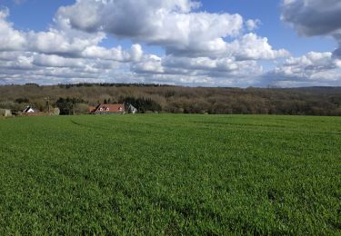
C’est une agréable balade dans l’arrière-pays Boulonnais qui vous mènera le long du Wimereux et dans la forêt domaniale de Boulogne. Massif forestier de plus de 2000 hectares plantés d’espèces nobles (hêtres, charmes…) et abritant de nombreux oiseaux.
Ort
Land:
France
Region :
Nordfrankreich
Abteilung/Provinz :
Pas-de-Calais
Kommune :
Conteville-lès-Boulogne
Standort:
Unknown
Gehen Sie:(Dec)
Gehen Sie:(UTM)
410497 ; 5622145 (31U) N.
Kommentare
Touren in der Umgebung
Sentier de la Pierre de Baincthun


Wandern
Einfach
(1)
Baincthun,
Nordfrankreich,
Pas-de-Calais,
France

4 km | 5,2 km-effort
1h 19min
Ja
Sentier des Aulnes - La Capelle-lès-Boulogne


Wandern
Einfach
La Capelle-lès-Boulogne,
Nordfrankreich,
Pas-de-Calais,
France

3,3 km | 3,7 km-effort
1h 0min
Ja

La vallée du Wimereux - Le Wast


Fahrrad
Medium
Le Wast,
Nordfrankreich,
Pas-de-Calais,
France

30 km | 35 km-effort
3h 0min
Ja
Sentier Le Rendal


Zu Fuß
Einfach
Maninghen-Henne,
Nordfrankreich,
Pas-de-Calais,
France

4,5 km | 5,4 km-effort
1h 13min
Ja
randonnée Contevilloise


Wandern
Schwierig
La Capelle-lès-Boulogne,
Nordfrankreich,
Pas-de-Calais,
France

10,4 km | 12,3 km-effort
8h 23min
Ja
randonnée Capelloise


Wandern
Einfach
La Capelle-lès-Boulogne,
Nordfrankreich,
Pas-de-Calais,
France

6,2 km | 7 km-effort
2h 26min
Ja

La Fontaine aux Charmes - Conteville-lès-Boulogne


Wandern
Einfach
(1)
Conteville-lès-Boulogne,
Nordfrankreich,
Pas-de-Calais,
France

5,8 km | 6,9 km-effort
1h 30min
Ja

Sentier de la Marguerite


sport
Sehr leicht
(1)
Baincthun,
Nordfrankreich,
Pas-de-Calais,
France

14 km | 18,2 km-effort
Unbekannt
Ja

La vallée du Wimereux - Le Wast


Fahrrad
Medium
Le Wast,
Nordfrankreich,
Pas-de-Calais,
France

30 km | 34 km-effort
3h 0min
Ja


 SityTrail


