21 km | 26 km-effort
calanque
davvin13
Benutzer
Länge
9,3 km
Maximale Höhe
149 m
Positive Höhendifferenz
387 m
Km-Effort
14,4 km
Min. Höhe
4 m
Negative Höhendifferenz
380 m
Boucle
Nein
Erstellungsdatum :
2022-09-05 09:08:04.586
Letzte Änderung :
2022-09-05 14:05:12.202
2h48
Schwierigkeit : Medium
Kostenlosegpshiking-Anwendung
Über SityTrail
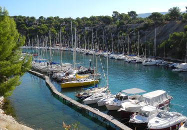
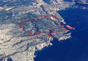
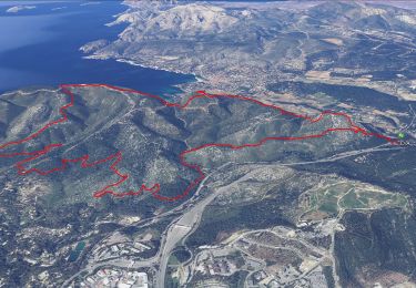
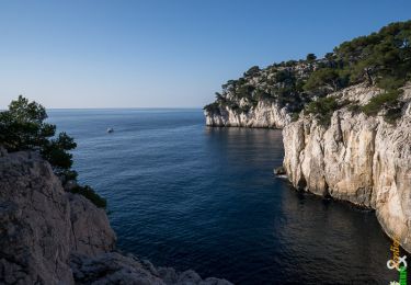
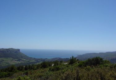
Tour Wandern von 9,3 km verfügbar auf Provence-Alpes-Côte d'Azur, Bouches-du-Rhône, Cassis. Diese Tour wird von davvin13 vorgeschlagen.
Ort
Land:
France
Region :
Provence-Alpes-Côte d'Azur
Abteilung/Provinz :
Bouches-du-Rhône
Kommune :
Cassis
Standort:
Unknown
Gehen Sie:(Dec)
Gehen Sie:(UTM)
704852 ; 4787406 (31T) N.
Kommentare
Touren in der Umgebung
7909608-TRIMRS2017_Parcours Bike L V5
Rennrad
Medium
(1)
Cassis,
Provence-Alpes-Côte d'Azur,
Bouches-du-Rhône,
France
1h 31min
Nein
SityTrail - Les 3 Calanques - Cassis
Wandern
Schwierig
(1)
Cassis,
Provence-Alpes-Côte d'Azur,
Bouches-du-Rhône,
France
16,6 km | 25 km-effort
6h 0min
Ja
SityTrail - cassis la couronne
Wandern
Medium
(3)
Cassis,
Provence-Alpes-Côte d'Azur,
Bouches-du-Rhône,
France
16,1 km | 24 km-effort
6h 0min
Ja
les calanques de Cassis
Wandern
Medium
(1)
Cassis,
Provence-Alpes-Côte d'Azur,
Bouches-du-Rhône,
France
15,9 km | 23 km-effort
6h 2min
Nein
Traversée des Calanques 1/2
Wandern
Schwierig
(1)
Cassis,
Provence-Alpes-Côte d'Azur,
Bouches-du-Rhône,
France
16,9 km | 32 km-effort
6h 19min
Nein
Calanques - Aiguille Eissadon - Col Devenson - En vau - Col l'Oule
Wandern
Schwierig
(2)
Marseille,
Provence-Alpes-Côte d'Azur,
Bouches-du-Rhône,
France
14,6 km | 22 km-effort
4h 48min
Ja
La Pointe Sud d'en Vau, depuis Cassis
Wandern
Medium
(2)
Cassis,
Provence-Alpes-Côte d'Azur,
Bouches-du-Rhône,
France
7,7 km | 11,9 km-effort
3h 30min
Ja
Rando Cassis - Mont Gibaou
Wandern
Schwierig
(4)
Cassis,
Provence-Alpes-Côte d'Azur,
Bouches-du-Rhône,
France
9,2 km | 14,3 km-effort
3h 0min
Ja
Le Mont Gibaou **(cassis 13)
Wandern
Medium
Cassis,
Provence-Alpes-Côte d'Azur,
Bouches-du-Rhône,
France
12,5 km | 18,7 km-effort
6h 0min
Ja