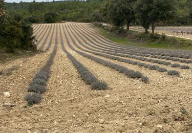
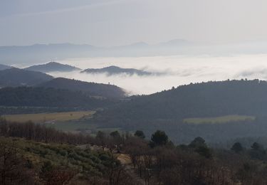
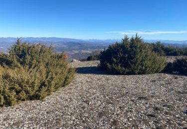
40 km | 49 km-effort
la bastide des jourdan.
Roger
Benutzer
Länge
9,4 km
Maximale Höhe
690 m
Positive Höhendifferenz
310 m
Km-Effort
13,5 km
Min. Höhe
451 m
Negative Höhendifferenz
319 m
Boucle
Ja
Erstellungsdatum :
2022-09-04 06:27:04.992
Letzte Änderung :
2022-09-04 09:31:49.353
2h55
Schwierigkeit : Medium
Kostenlosegpshiking-Anwendung
Über SityTrail
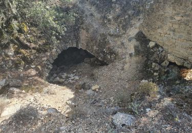
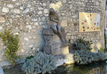
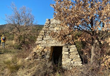
Tour Wandern von 9,4 km verfügbar auf Provence-Alpes-Côte d'Azur, Vaucluse, La Bastide-des-Jourdans. Diese Tour wird von Roger vorgeschlagen.
Beschreibung
garder le pipe line pour arrivé à la route ( propriété privée)
Ort
Land:
France
Region :
Provence-Alpes-Côte d'Azur
Abteilung/Provinz :
Vaucluse
Kommune :
La Bastide-des-Jourdans
Standort:
Unknown
Gehen Sie:(Dec)
Gehen Sie:(UTM)
712482 ; 4852590 (31T) N.
Kommentare
Touren in der Umgebung
Parcours n°21 - La Bastide-des-Jourdans
Fahrrad
Medium
(2)
La Bastide-des-Jourdans,
Provence-Alpes-Côte d'Azur,
Vaucluse,
France
2h 49min
Ja
2024-10-01 Grambois et les ruines des templiers
Wandern
Schwierig
Grambois,
Provence-Alpes-Côte d'Azur,
Vaucluse,
France
12 km | 16 km-effort
3h 38min
Ja
Balade autour de la Bastide des Jourdans
Wandern
La Bastide-des-Jourdans,
Provence-Alpes-Côte d'Azur,
Vaucluse,
France
6,1 km | 7,9 km-effort
1h 42min
Ja
Les Collets du Luberon Est
Wandern
Medium
(1)
La Bastide-des-Jourdans,
Provence-Alpes-Côte d'Azur,
Vaucluse,
France
17,9 km | 26 km-effort
5h 50min
Ja
Peypin-d’Aigues d’Aigues les Dones nord
Wandern
Medium
Peypin-d'Aigues,
Provence-Alpes-Côte d'Azur,
Vaucluse,
France
7,3 km | 11,5 km-effort
2h 41min
Ja
1Montfuron, Villemus via la Colle et le Moulin.
Wandern
Einfach
Montfuron,
Provence-Alpes-Côte d'Azur,
Alpes-de-Haute-Provence,
France
7,6 km | 9,9 km-effort
2h 4min
Ja
La Pourraque Beaumont de Pertuis 84
Wandern
Einfach
Grambois,
Provence-Alpes-Côte d'Azur,
Vaucluse,
France
8,1 km | 10,6 km-effort
2h 34min
Ja
1Montfuron, le relais de Villemus
Wandern
Medium
(1)
Montfuron,
Provence-Alpes-Côte d'Azur,
Alpes-de-Haute-Provence,
France
8 km | 11,2 km-effort
2h 9min
Ja
Col des Mascas 84
Wandern
Sehr leicht
Céreste,
Provence-Alpes-Côte d'Azur,
Alpes-de-Haute-Provence,
France
8,3 km | 11,9 km-effort
3h 45min
Ja
la description complete svp