


48 km | 54 km-effort


Benutzer


Kostenlosegpshiking-Anwendung
 SityTrail
IGN / Geografische Institute
SityTrail World
Die Welt öffnet sich für Sie
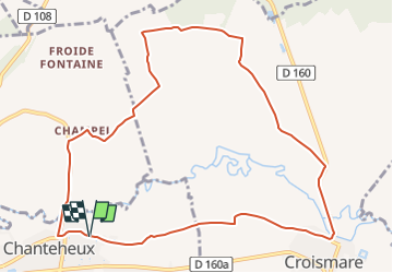
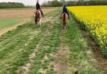
Tour Wandern von 10,6 km verfügbar auf Großer Osten, Mörthe und Mosel, Chanteheux. Diese Tour wird von Le_Grand vorgeschlagen.
Circuit dans la campagne Lunévilloise à partir de Chanteheux via Champelle (Chanteheux), les Rappes (Croismare) et le village de Croismare. Rando facile
Mountainbike
Elektrofahrrad
Reiten
Reiten
Andere Aktivitäten
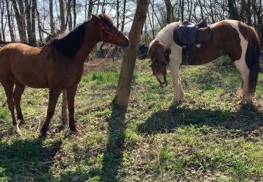
Reiten
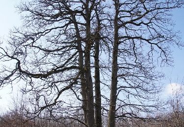
Wandern

Reiten
Reiten