


9,8 km | 14,3 km-effort

Benutzer


Kostenlosegpshiking-Anwendung
 SityTrail
IGN / Geografische Institute
SityTrail World
Die Welt öffnet sich für Sie
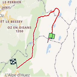
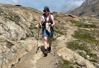
Tour Wandern von 14,6 km verfügbar auf Auvergne-Rhone-Alpen, Isère, Huez. Diese Tour wird von patjobou vorgeschlagen.
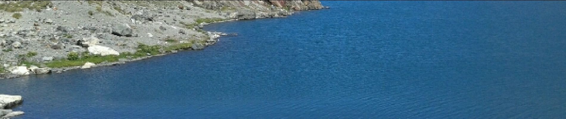
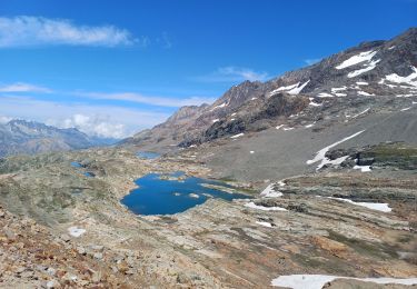
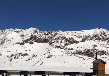
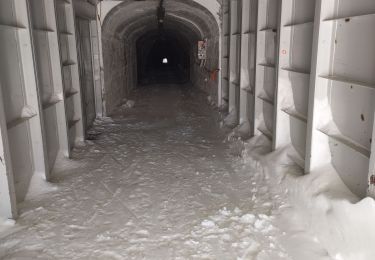
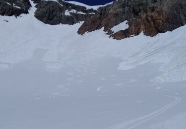
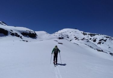
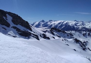
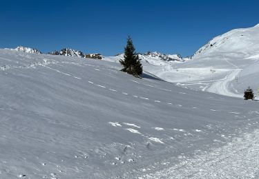
Belle balade de Lacs; Lacs Sup en milieu minéral; Lacs Inf en milieu végétal; panoramas superbes;Sans oublier le refuge de La Fare typique;Et le billet télécabine permet de monter au Pic Blancs ! belle journée. Pour ceux qui préfèrent les montées aux descentes, peux se faire dans l'autre sens.


Wandern
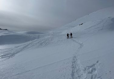
Schneeschuhwandern
Skiwanderen
Skiwanderen
Skiwanderen
Skiwanderen
Skiwanderen

sport
sport