


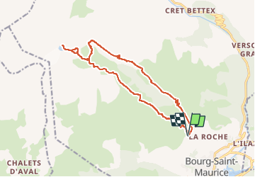

14,1 km | 24 km-effort


Benutzer


Kostenlosegpshiking-Anwendung
 SityTrail
IGN / Geografische Institute
SityTrail World
Die Welt öffnet sich für Sie
Tour Wandern von 16,5 km verfügbar auf Auvergne-Rhone-Alpen, Savoyen, Bourg-Saint-Maurice. Diese Tour wird von Maryma vorgeschlagen.
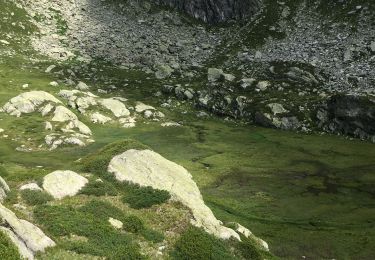
N'hésitez pas à monter en-dessus du dernier lac, le lac noir, pour avoir une vue d'ensemble des lacs. Magnifique panorama!
Le chemin du retour devient une piste dans la vallée des Sapieux. Ne pas hésiter à couper les virages sur la fin. Même s'ils ne sont pas mentionnés sur la carte ; ils sont balisés. Deux n'apparaissent pas sur le tracé.

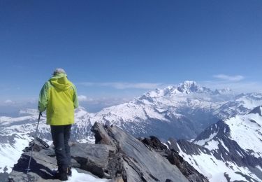
Wandern
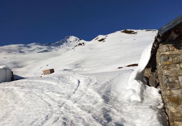
Skiwanderen
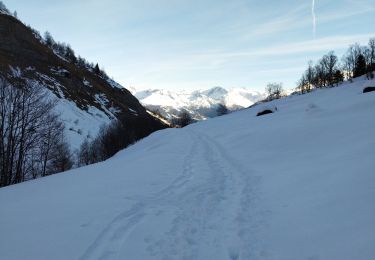
Skiwanderen
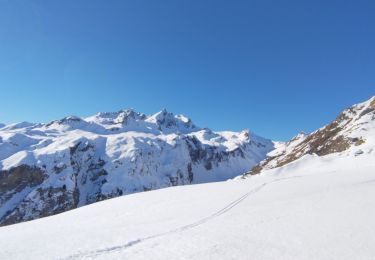
Skiwanderen
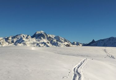
Skiwanderen
Skiwanderen
Wandern
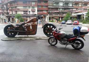
Motorrad

Wandern