


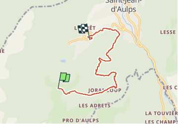

26 km | 53 km-effort

Benutzer


Kostenlosegpshiking-Anwendung
 SityTrail
IGN / Geografische Institute
SityTrail World
Die Welt öffnet sich für Sie
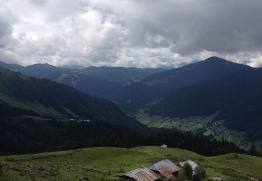
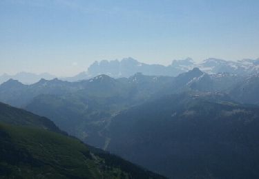
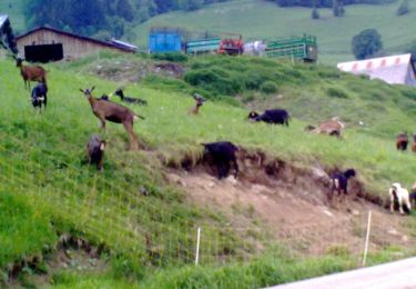
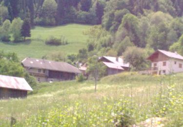
Tour Wandern von 6,1 km verfügbar auf Auvergne-Rhone-Alpen, Hochsavoyen, Saint-Jean-d'Aulps. Diese Tour wird von micheldutilleul vorgeschlagen.
Laisser sa voiture au pied du télécabine de la Grande Terche, et prendre le télécabine pour commencer la balade, retour en bas du télécabine.


Nordic Walking

Wandern

Nordic Walking
Zu Fuß
Wandern
Wandern
Wandern
Wandern
Wandern