


12 km | 14,2 km-effort

Benutzer


Kostenlosegpshiking-Anwendung
 SityTrail
IGN / Geografische Institute
SityTrail World
Die Welt öffnet sich für Sie
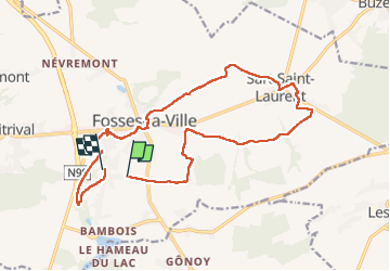
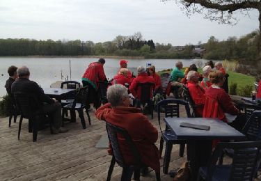
Tour Wandern von 16,7 km verfügbar auf Wallonien, Namur, Fosses-la-Ville. Diese Tour wird von jeangulu vorgeschlagen.
Point de départ : Salle l'Hauventoise- Rue d'Hauvent- 5070 Fosses-la- Ville.
Organisateur :NA 001 - FOOTING CLUB FOSSES A.S.B.L


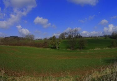
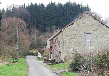
Wandern
Wandern
Wandern

Wandern
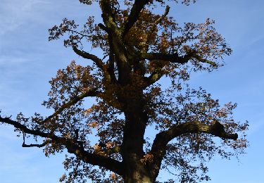
Wandern

Wandern
Wandern
Mountainbike
Zu Fuß