


8,5 km | 9,9 km-effort

Benutzer


Kostenlosegpshiking-Anwendung
 SityTrail
IGN / Geografische Institute
SityTrail World
Die Welt öffnet sich für Sie
Tour Wandern von 33 km verfügbar auf Ägäis, Regionalbezirk Paros. Diese Tour wird von David Toussaint vorgeschlagen.
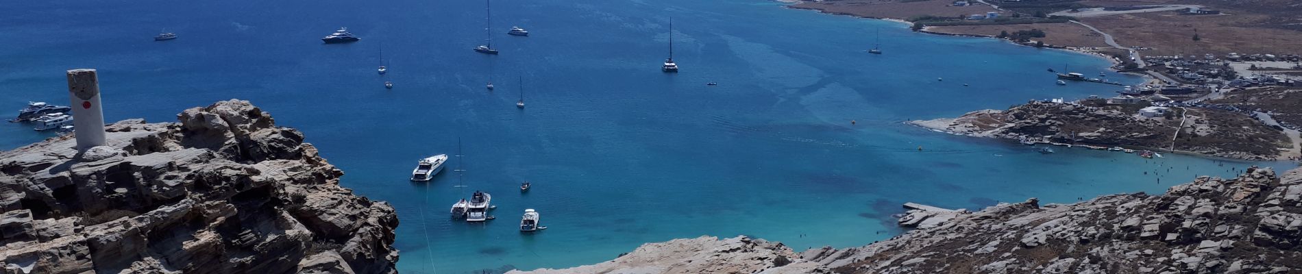
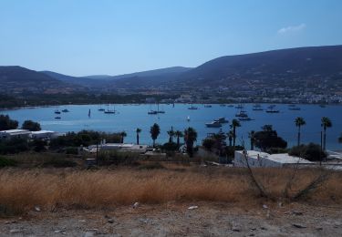
from Parikya, take the bus to Naoussa, visit port and then cross the bay by boat to monastiri, take a walk to the lighthouse and other peninsula peak (100m!) and have lunch at the beach and relax in the sea bay. return with boat (every 45 minutes) and bus to Parikia.


Wandern
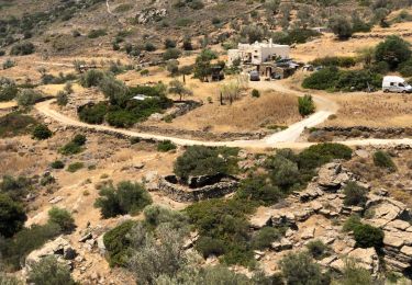
Wandern
Wandern


Motorboot