


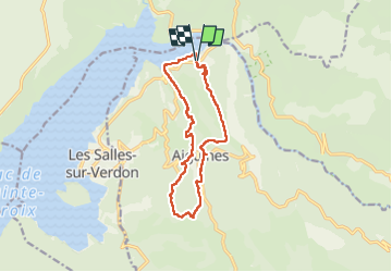

16,8 km | 31 km-effort

Benutzer


Kostenlosegpshiking-Anwendung
 SityTrail
IGN / Geografische Institute
SityTrail World
Die Welt öffnet sich für Sie
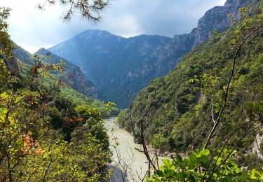
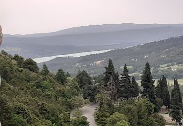
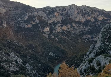
Tour Wandern von 12,8 km verfügbar auf Provence-Alpes-Côte d'Azur, Var, Aiguines. Diese Tour wird von Roger vorgeschlagen.
zone de chasse dans la boucle . début de la randonnée, dans le camping galetas difficile à trouver. inverser le sens


Wandern
Wandern
Wandern

Wandern
Wandern
Wandern
Wandern
Wandern
Wandern