


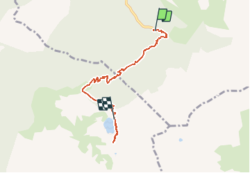


12,4 km | 21 km-effort

Benutzer


Kostenlosegpshiking-Anwendung
 SityTrail
IGN / Geografische Institute
SityTrail World
Die Welt öffnet sich für Sie
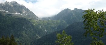
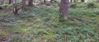
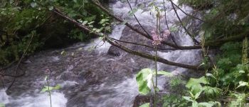
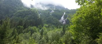
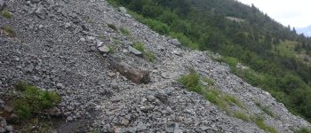
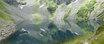
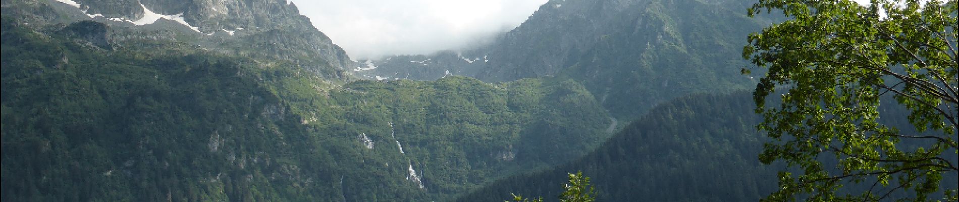
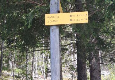
Tour Wandern von 6,6 km verfügbar auf Auvergne-Rhone-Alpen, Isère, Laval-en-Belledonne. Diese Tour wird von Bushiben vorgeschlagen.
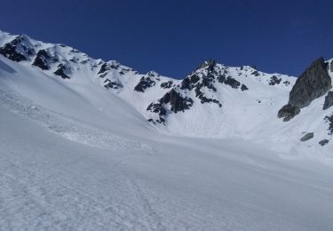
Faute de batterie suffisante, la trace GPS ne représente que la monté au lac.
Pensez à modifier les données temps, dénivelé et kilométrage afin d'avoir un total représentatif de la rando complète.


Wandern
Skiwanderen

Skiwanderen

Skiwanderen
Skiwanderen
Skiwanderen
Skiwanderen
Skiwanderen
Wandern