


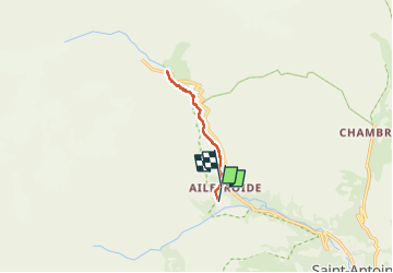

14,5 km | 28 km-effort


Benutzer


Kostenlosegpshiking-Anwendung
 SityTrail
IGN / Geografische Institute
SityTrail World
Die Welt öffnet sich für Sie
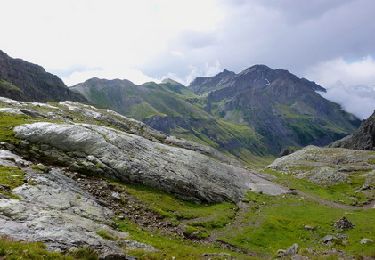
Tour Wandern von 8,2 km verfügbar auf Provence-Alpes-Côte d'Azur, Hochalpen, Vallouise-Pelvoux. Diese Tour wird von lolitrail vorgeschlagen.
Ne pouvant accéder au parking avec ma chienne car il se situe dans le parc national, j ai fait demi tour avant au niveau de l accès à la route . Très bel aller-retour . Privilégier le matin tôt avant le monde
Wandern

Wandern
Wandern
Wandern
Zu Fuß
Zu Fuß
Wandern
Wandern
Wandern