


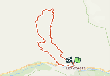

6,3 km | 11,2 km-effort


Benutzer


Kostenlosegpshiking-Anwendung
 SityTrail
IGN / Geografische Institute
SityTrail World
Die Welt öffnet sich für Sie
Tour Wandern von 11,1 km verfügbar auf Auvergne-Rhone-Alpen, Isère, Saint-Christophe-en-Oisans. Diese Tour wird von hugo26 vorgeschlagen.
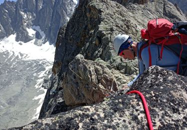
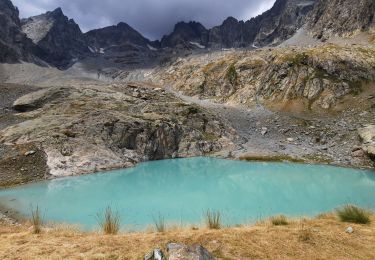
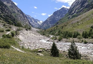
Rando en boucle depuis les Etages ( la Bérarde) vers le refuge du Soreiller et retour par basse montagne. Rando difficile à faire avec un maximum d'entrainement.

Wandern

Wandern

Wandern

Wandern

Wandern

Wandern
Wandern
Wandern
Wandern