


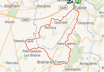

13,2 km | 15,9 km-effort


Benutzer


Kostenlosegpshiking-Anwendung
 SityTrail
IGN / Geografische Institute
SityTrail World
Die Welt öffnet sich für Sie
Tour Elektrofahrrad von 39 km verfügbar auf Wallonien, Wallonisch-Brabant, Tubize. Diese Tour wird von Boubby vorgeschlagen.
Balade bucolique en boucle améliorée le long de la Senne via la réserve du Paradis et en revenant par le bois de la Houssière et les étangs de Couercq

Wandern

Wandern
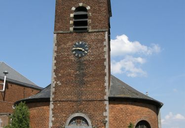
Wandern
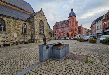
Wandern
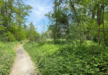
Wandern

Wandern
Wandern
Wandern
Wandern