


9,6 km | 11,9 km-effort
Randonnées de la Grande Forêt de Saint-Hubert GUIDE+


Kostenlosegpshiking-Anwendung
 SityTrail
IGN / Geografische Institute
SityTrail World
Die Welt öffnet sich für Sie
Tour Wandern von 9 km verfügbar auf Wallonien, Luxemburg, Saint-Hubert. Diese Tour wird von La Grande Forêt de Saint-Hubert vorgeschlagen.
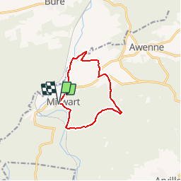
Cette balade forestière, au départ de l'église de Mirwart vous mènera à Blanche Virée, point culminant du domaine provincial de Mirwart, à une altitude de 427m.
Extrait de la carte de promenade « Au Pays de Saint-Hubert » (30 balades pédestres, 6 circuits VTT – carte topographique 1/25.000) disponible au Royal Syndicat d’Initiative de Saint-Hubert au prix de 8€.
Royal Syndicat d’Initiative de Saint-Hubert
Place du Marché, n°15
B-6870 SAINT-HUBERT
Tél.: 32 (0)61 61 30 10
Fax: 32 (0)61 61 54 44
rsi@saint-hubert-tourisme.be
www.rsi-sainthubert.be
facebook.com/rsisainthubert
 - Photo 1")
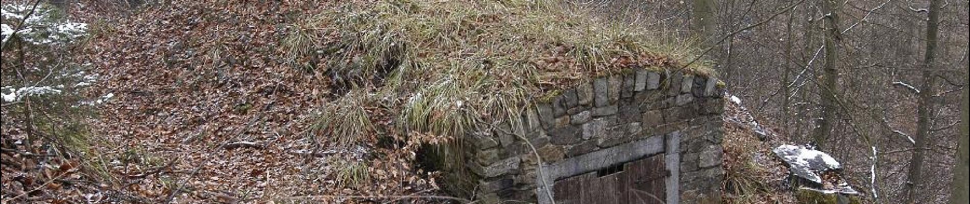
 - Photo 2")

Wandern

Wandern

Wandern

Wandern

Wandern

Wandern

Wandern

Wandern

Zu Fuß
stukje omgewandeld door het bos! redelijk groot stuk langs asfalt baan. voor de rest mooie wandeling met een stijle afdaling in het bos.
goed