9,3 km | 11,5 km-effort


Benutzer


Kostenlosegpshiking-Anwendung
 SityTrail
IGN / Geografische Institute
SityTrail World
Die Welt öffnet sich für Sie
Tour Wandern von 20 km verfügbar auf Wallonien, Lüttich, Oupeye. Diese Tour wird von jeangulu vorgeschlagen.
Point de départ : Hall Omnisport L. Larbuisson - Rue du Roi Albert, 175 D - 4680 OUPEYE.
Organisateur : LG 063 - LA ROYALE GODASSE OUPEYE.

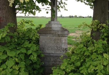
Wandern

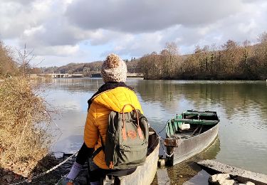
Wandern

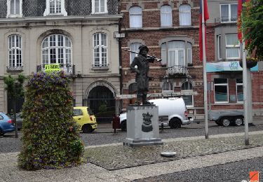
Wandern
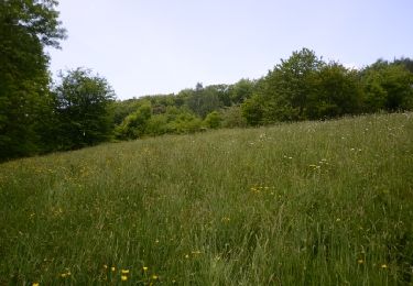
Wandern
Wandern
Wandern

Elektrofahrrad