


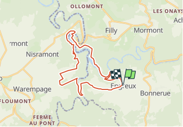


13,4 km | 18,8 km-effort


Benutzer


Kostenlosegpshiking-Anwendung
 SityTrail
IGN / Geografische Institute
SityTrail World
Die Welt öffnet sich für Sie
Tour Wandern von 14,5 km verfügbar auf Wallonien, Luxemburg, Hohenfels. Diese Tour wird von vindju vorgeschlagen.
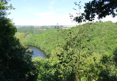
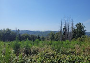
Une très belle promenade pour des promeneurs aguéris.
Beaucoup de montées courtes mais fatigantes.
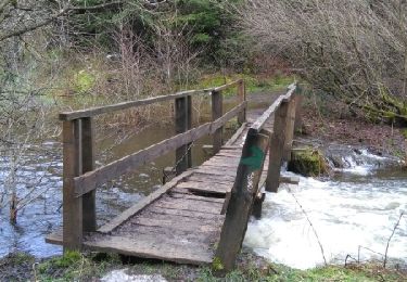
Bonnes chaussures recommandées, sandales à éviter.
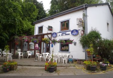
Il y a une chouette petite auberge à Engreux.
Wandern

Wandern

Wandern
Wandern

Wandern
Wandern

Wandern
Wandern
Wandern