


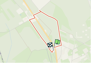


16,7 km | 22 km-effort
Nos balades autour de la brasserie n'attendent que vous! PRO


Kostenlosegpshiking-Anwendung
 SityTrail
IGN / Geografische Institute
SityTrail World
Die Welt öffnet sich für Sie
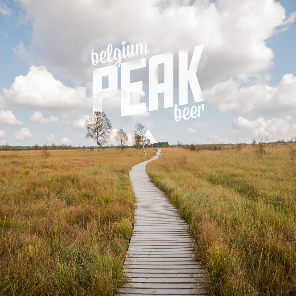
Tour Wandern von 2,8 km verfügbar auf Wallonien, Lüttich, Weismes. Diese Tour wird von Peak Beer vorgeschlagen.
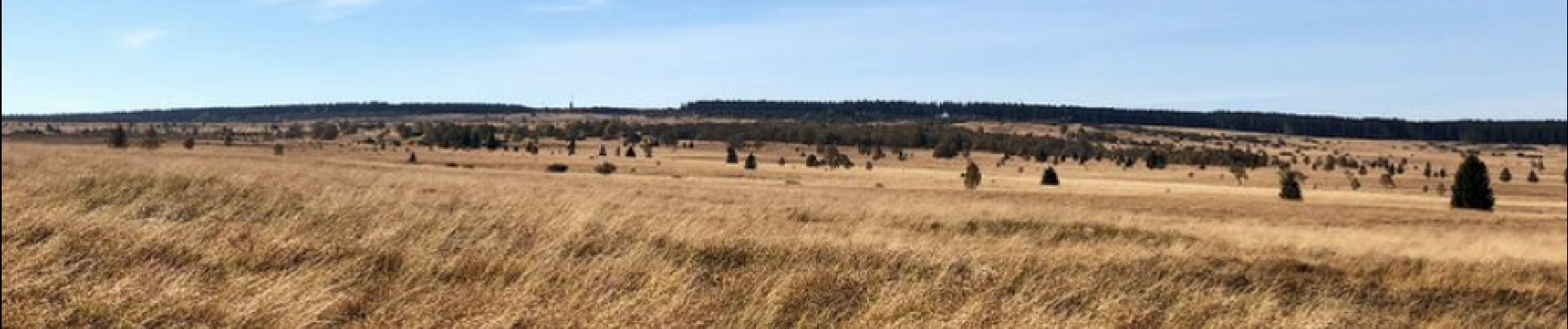
Diese kurze Wanderung mit der Länge von 2,5km (45 min), erreichbar für Kinderwagen, führt Sie zum Fagne Wallonne und zum Naturzentrum von Botrange.
 - Photo 1")

Wandern

Wandern

Wandern


Wandern

Wandern
Wandern

Wandern

Wandern