


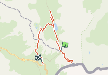

7,7 km | 11,3 km-effort


Benutzer


Kostenlosegpshiking-Anwendung
 SityTrail
IGN / Geografische Institute
SityTrail World
Die Welt öffnet sich für Sie
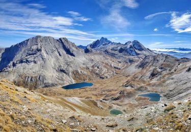
Tour Wandern von 8,6 km verfügbar auf Provence-Alpes-Côte d'Azur, Hochalpen, Abriès-Ristolas. Diese Tour wird von morganee vorgeschlagen.
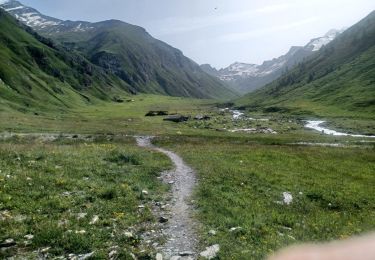
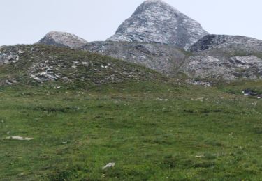
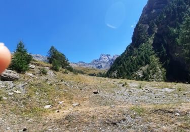
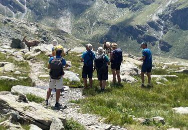
Tentative de montée au pain de Sucre. Arrêt à 200m du sommet pour moi, et à 20m pour mon compagnon, niveau trop technique pour nous, d'où le classement difficile.
Wandern

Wandern

Wandern

Wandern
Wandern
Wandern
Wandern
Wandern
Wandern