


10,7 km | 17,9 km-effort


Benutzer


Kostenlosegpshiking-Anwendung
 SityTrail
IGN / Geografische Institute
SityTrail World
Die Welt öffnet sich für Sie
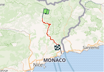
Tour Rennrad von 70 km verfügbar auf Provence-Alpes-Côte d'Azur, Seealpen, Roquebillière. Diese Tour wird von bosses21 vorgeschlagen.
Les cols du jour
- Col de Turini, 1604 m.
- Col de l’Orme, 1005 m.
- Col de l’Ablé, 1169 m.
- Col de Braus, 1002 m.
- Col de Castillon, 370 m.
Les moments forts
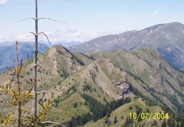
- Le Turini, dernière grosse difficulté de notre périple… A savourer !
- Rouler en sachant que l’on en a terminé des dernières difficultés alpines…
- Le superbe enchaînement de petits cols (Orme, Ablé, Braus) avec de nombreux panoramas sur la Méditerranée.
- L’arrivée à la mer

Wandern

Wandern

Zu Fuß
Zu Fuß

Wandern
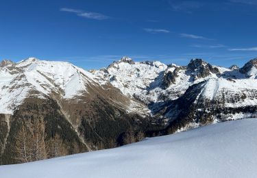
Schneeschuhwandern
Zu Fuß
Schneeschuhwandern
Schneeschuhwandern