


14 km | 27 km-effort

Benutzer


Kostenlosegpshiking-Anwendung
 SityTrail
IGN / Geografische Institute
SityTrail World
Die Welt öffnet sich für Sie
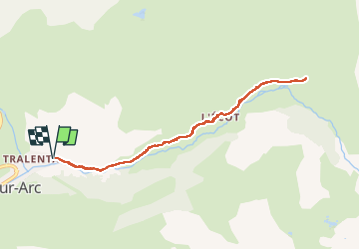
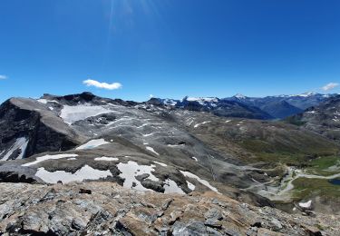
Tour Wandern von 8,3 km verfügbar auf Auvergne-Rhone-Alpen, Savoyen, Bonneval-sur-Arc. Diese Tour wird von BMorin91470 vorgeschlagen.
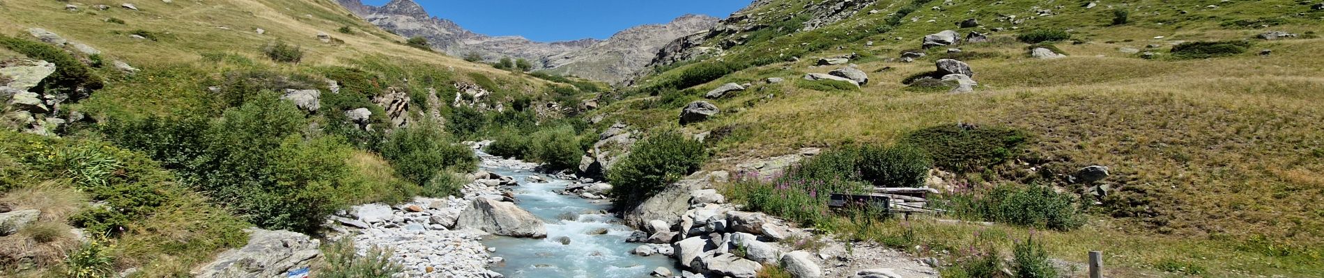
Randonnée effectuée le 16/07/2022
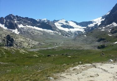
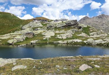
Départ du parking (route de Tralenta) en suivant le sentier qui longe l'Arc et qui monte au hameau de l'Ecôt.
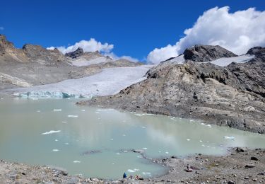
Traversée du hameau et suivre le GRP (Tour de la Haute-Maurienne) en direction du Refuge du Caro ; après 1 km biffurquer à droite vers le hameau de Trièves


Wandern
Andere Aktivitäten
Wandern
![Tour Wandern Bonneval-sur-Arc - Bonneval-sur-Arc / Bessans [neige] - J4 - Photo](https://media.geolcdn.com/t/375/260/28d35c22-b143-4338-8bb6-93842cf637ce.jpg&format=jpg&maxdim=2)
Wandern
Wandern
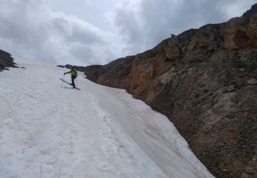
Skiwanderen
Skiwanderen
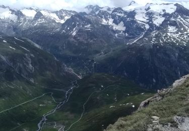
Wandern
Wandern