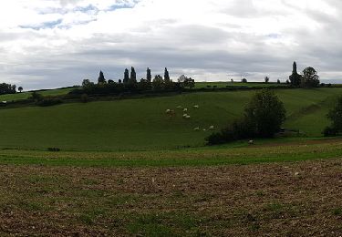
19,1 km | 24 km-effort
14072022
jjeletufe
Benutzer
Länge
30 km
Maximale Höhe
248 m
Positive Höhendifferenz
420 m
Km-Effort
36 km
Min. Höhe
71 m
Negative Höhendifferenz
422 m
Boucle
Ja
Erstellungsdatum :
2022-07-14 08:16:32.0
Letzte Änderung :
2022-07-14 10:07:54.128
1h51
Schwierigkeit : Schwierig
Kostenlosegpshiking-Anwendung
Über SityTrail
Tour Mountainbike von 30 km verfügbar auf Nordfrankreich, Oise, Pierrefitte-en-Beauvaisis. Diese Tour wird von jjeletufe vorgeschlagen.
Ort
Land:
France
Region :
Nordfrankreich
Abteilung/Provinz :
Oise
Kommune :
Pierrefitte-en-Beauvaisis
Standort:
Unknown
Gehen Sie:(Dec)
Gehen Sie:(UTM)
423916 ; 5481179 (31U) N.
Kommentare
Touren in der Umgebung
ACTIVE LOG 003
Mountainbike
Medium
(1)
Lachapelle-aux-Pots,
Nordfrankreich,
Oise,
France
1h 39min
Ja
Grand tour
Mountainbike
(1)
Pierrefitte-en-Beauvaisis,
Nordfrankreich,
Oise,
France
30 km | 35 km-effort
1h 44min
Ja
20200903-Gerberoy
Wandern
Medium
Hanvoile,
Nordfrankreich,
Oise,
France
24 km | 29 km-effort
6h 59min
Ja
Lachapelle-aux-pots - Héricourt - La Frénoye - Armentières
Wandern
Schwierig
Lachapelle-aux-Pots,
Nordfrankreich,
Oise,
France
10,7 km | 13,7 km-effort
3h 6min
Ja
Lachapelle aux pots - Armentières 11 km
Wandern
Schwierig
Lachapelle-aux-Pots,
Nordfrankreich,
Oise,
France
10,6 km | 13,5 km-effort
3h 4min
Ja
Lachapelle aux Pots - Rando santé 1
Wandern
Medium
Lachapelle-aux-Pots,
Nordfrankreich,
Oise,
France
5,6 km | 6,4 km-effort
1h 24min
Ja
Lachapelle-aux-Pots - autour de la Crapaudière vers 2
Wandern
Einfach
Lachapelle-aux-Pots,
Nordfrankreich,
Oise,
France
9,9 km | 11,5 km-effort
2h 32min
Ja
Lachapelle-aux-Pots - autour de la Crapaudière
Wandern
Einfach
Lachapelle-aux-Pots,
Nordfrankreich,
Oise,
France
9,4 km | 10,9 km-effort
2h 25min
Ja