


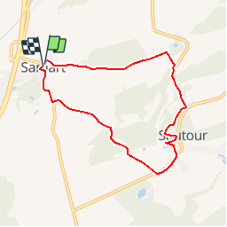


25 km | 30 km-effort

Benutzer GUIDE


Kostenlosegpshiking-Anwendung
 SityTrail
IGN / Geografische Institute
SityTrail World
Die Welt öffnet sich für Sie
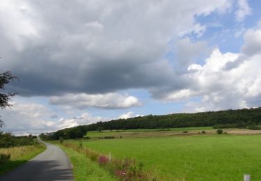
Tour Wandern von 6,7 km verfügbar auf Wallonien, Namur, Philippeville. Diese Tour wird von Desrumaux vorgeschlagen.
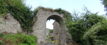
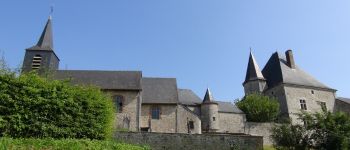
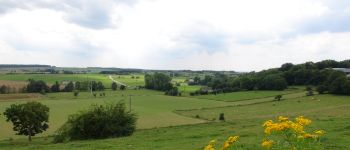
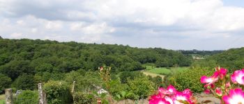
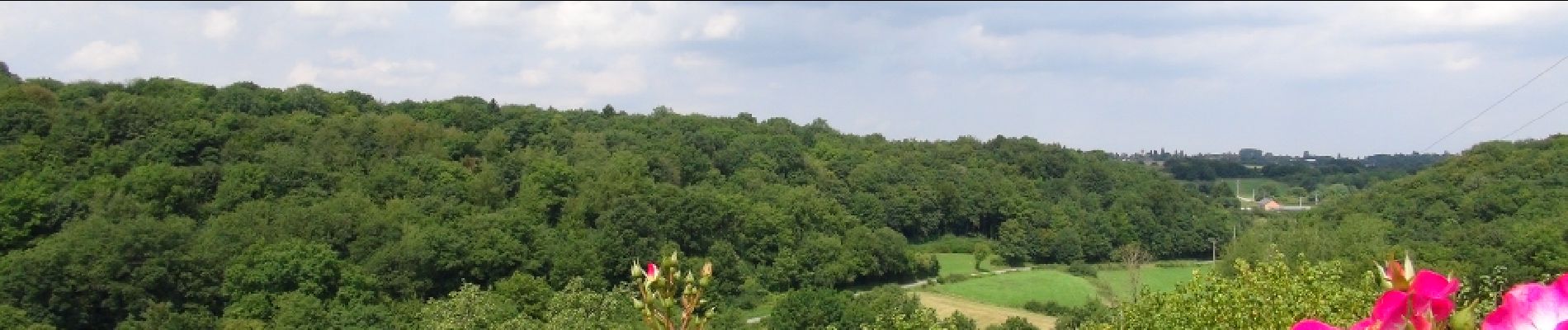
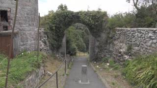
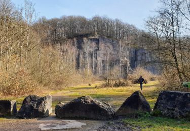
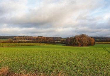
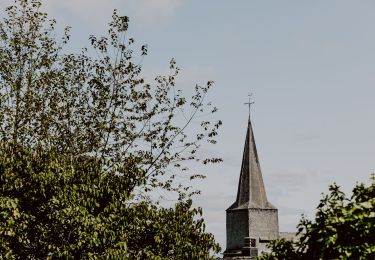
Jolie balade proposée par le Syndicat d’Initiative et de Tourisme de PhilippevilleSautour est une ancienne place forte, avant-poste de la forteresse de Philippeville. Dominant la vallée de l’Hermeton, Sautour a gardé une vocation militaire jusqu’à la fin du XVIIe siècle en raison de la proximité de la place-forte de Philippeville. Situé dans une zone dépourvue de défenses naturelles, le village actuel montre encore les vestiges de ses fortifications et d’une porte qui domine la vallée. De l’ancien village situé plus bas dans la vallée, il ne subsiste pratiquement que le cimetière et l’ancien moulin. ®La localité de Samart est une des plus typiques de la région. Ce vieux village perché sur une colline possède un château-ferme à l’aspect caractéristique dont la silhouette se détache bien sur le contrefort du village. Départ : Eglise de Samart ou de Sautour


Wandern
Wandern
Wandern
Wandern
Wandern
Mountainbike
Wandern
Wandern
Wandern
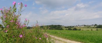
belle promenade