


13 km | 18,5 km-effort


Benutzer


Kostenlosegpshiking-Anwendung
 SityTrail
IGN / Geografische Institute
SityTrail World
Die Welt öffnet sich für Sie
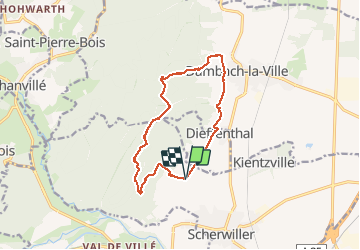
Tour Wandern von 13,1 km verfügbar auf Großer Osten, Unterelsass, Scherweiler. Diese Tour wird von Axelloceane vorgeschlagen.
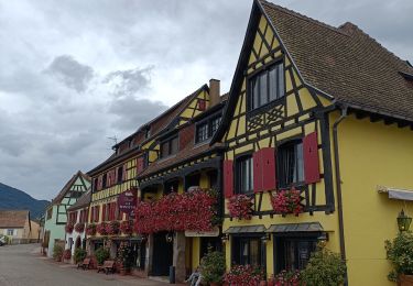
Randonnée au départ de la chapelle du Taennelkreuz.Prendre le sentier vers les ruines du château de Ortenbourg ensuite suivre le GR5 jusqu'au ruines du château de Bernstein.Descente vers la chapelle de Saint Sébastien.Retour par les vignes surplombant Dambach les villes et en traversant le village de Dieffenthal.


Wandern

Wandern
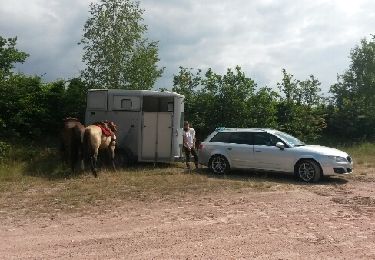
Pferd

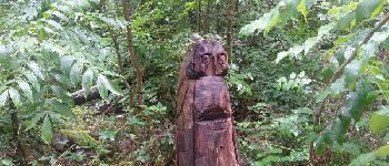
Wandern

Wandern

Wandern

Mountainbike

Wandern
Elektrofahrrad