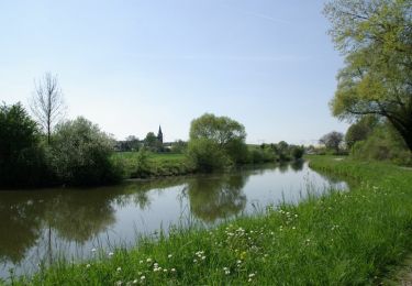
21 km | 24 km-effort
Amiens vers poix
davebon
Benutzer
Länge
23 km
Maximale Höhe
133 m
Positive Höhendifferenz
285 m
Km-Effort
27 km
Min. Höhe
48 m
Negative Höhendifferenz
250 m
Boucle
Nein
Erstellungsdatum :
2022-07-10 10:34:59.0
Letzte Änderung :
2022-07-10 12:24:53.311
45m
Schwierigkeit : Unbekannt
Kostenlosegpshiking-Anwendung
Über SityTrail
Tour Quad von 23 km verfügbar auf Nordfrankreich, Somme, Dreuil-lès-Amiens. Diese Tour wird von davebon vorgeschlagen.
Beschreibung
Lieu de picnic
Ort
Land:
France
Region :
Nordfrankreich
Abteilung/Provinz :
Somme
Kommune :
Dreuil-lès-Amiens
Standort:
Unknown
Gehen Sie:(Dec)
Gehen Sie:(UTM)
444672 ; 5528933 (31U) N.
Kommentare
Touren in der Umgebung
2016 05 01
Wandern
Schwierig
(1)
Amiens,
Nordfrankreich,
Somme,
France
42 km | 46 km-effort
7h 25min
Ja
amiens
Wandern
Einfach
(2)
Amiens,
Nordfrankreich,
Somme,
France
12,7 km | 13,8 km-effort
2h 12min
Nein
2013-05-04
Wandern
Medium
(1)
Amiens,
Nordfrankreich,
Somme,
France
42 km | 47 km-effort
6h 45min
Ja
La Vallée d'Acon
Zu Fuß
Einfach
La Chaussée-Tirancourt,
Nordfrankreich,
Somme,
France
3,1 km | 3,8 km-effort
51min
Nein
petite balade nocturne a Amiens
Wandern
Einfach
Amiens,
Nordfrankreich,
Somme,
France
5 km | 5,6 km-effort
1h 23min
Ja
Amiens Gouy les groseilliers
Elektrofahrrad
Schwierig
Amiens,
Nordfrankreich,
Somme,
France
48 km | 0 m-effort
3h 2min
Nein
Forêt de Creuse - Ferrières
Mountainbike
Medium
Ferrières,
Nordfrankreich,
Somme,
France
29 km | 35 km-effort
2h 0min
Ja
Circuit Sainte-Aragone - Amiens
Wandern
Medium
Amiens,
Nordfrankreich,
Somme,
France
12,1 km | 13,1 km-effort
3h 0min
Ja