


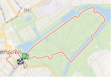

8,3 km | 9,5 km-effort


Benutzer


Kostenlosegpshiking-Anwendung
 SityTrail
IGN / Geografische Institute
SityTrail World
Die Welt öffnet sich für Sie
Tour Andere Aktivitäten von 5,9 km verfügbar auf Flandern, Flämisch-Brabant, Tervuren. Diese Tour wird von calofrancis vorgeschlagen.
tracé de la balade dans le parc de Tervueren, pour la journée du 28 juillet 2022
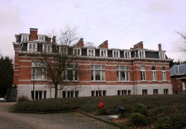
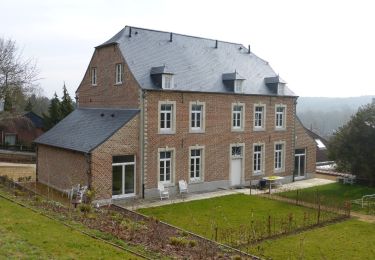
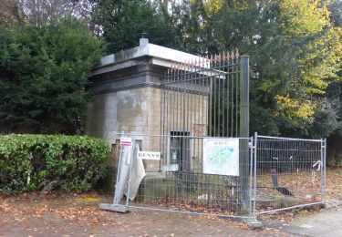
Départ du parking Panquin, passage et commentaires historiques devant les pricipaux batiments et lieux de l'histoire du parc.
Arrivée au resto "Cantina italiana" par la porte du mur d'enceinte
Wandern
Wandern
Wandern
Wandern
Fahrrad
Zu Fuß
Zu Fuß
Zu Fuß
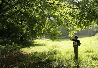
Zu Fuß