


8,5 km | 10,6 km-effort

Benutzer GUIDE


Kostenlosegpshiking-Anwendung
 SityTrail
IGN / Geografische Institute
SityTrail World
Die Welt öffnet sich für Sie
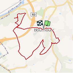
Tour Wandern von 9,3 km verfügbar auf Wallonien, Hennegau, Châtelet. Diese Tour wird von Desrumaux vorgeschlagen.
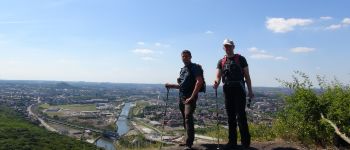
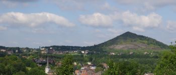
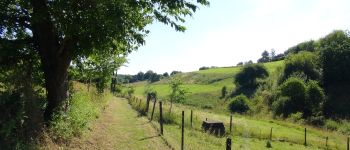
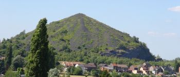
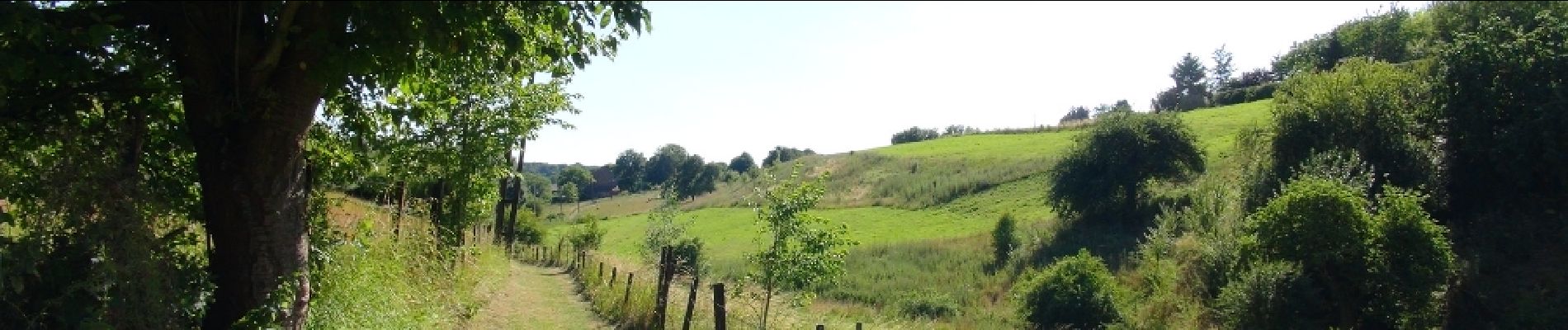
Blotti au creux de la vallée de la Biesme, Bouffioulx s'étend au nord-est, en prolongement de Châtelet. Au pied de ses plateaux dominants et de son plan rocheux, le centre du village étale son passé au gré des quartiers. Ici, de vieilles maisons aux murs épais en moellons, là, une ruelle romantique grimpant hardiment au flanc du rocher, ou encore ces vestiges du passé, souvent pittoresques, parfois émouvants, nostalgiques. Ce petit village pittoresque étale son riche passé et invite les visiteurs à découvrir un artisanat typique: « la poterie de pierre » appelée également « grès de Bouffioulx ». La commune de Bouffioulx possède un splendide plan rocheux ainsi qu'une grotte située en son sein dénommée "Montrou". ®Montez et découvrez le plus haut panorama sur Charleroi et ses environs. Le terril du Boubier aussi appelé le terril de la Blanche Borne ou encore le Fuji-yama carolo est le point culminant de la chaîne des terrils dans notre bassin. Vue superbe, du lion de Waterloo à la tour de la Plate-Taille, de Binche aux confins de Namur sous les vapeurs "atomiques" de Tihange et de Chooz. Tout cela dans un écrin de nature boisée d’où surgit ce cône presque parfait et bien vivant.®Départ : Place Albert 1er


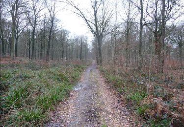
Wandern
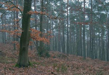
Wandern

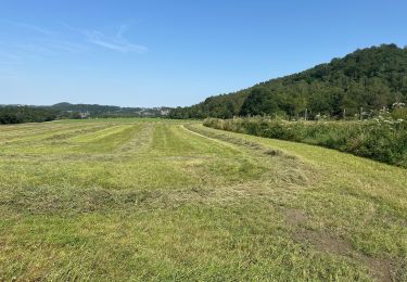
Wandern
Wandern
Wandern
Wandern
Wandern
Wandern
Wandern
très belle promenade !