


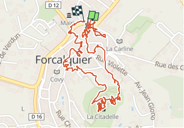


13,2 km | 17,4 km-effort


Benutzer GUIDE


Kostenlosegpshiking-Anwendung
 SityTrail
IGN / Geografische Institute
SityTrail World
Die Welt öffnet sich für Sie
Tour Wandern von 2,8 km verfügbar auf Provence-Alpes-Côte d'Azur, Alpes-de-Haute-Provence, Forcalquier. Diese Tour wird von pierreh01 vorgeschlagen.
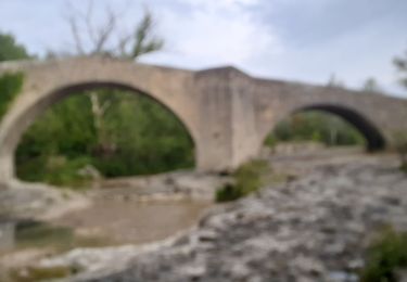
Lundi 13 juin 2022 : FORCALQUIER
Visite découverte de Forcalquier et de son marché hebdomadaire.


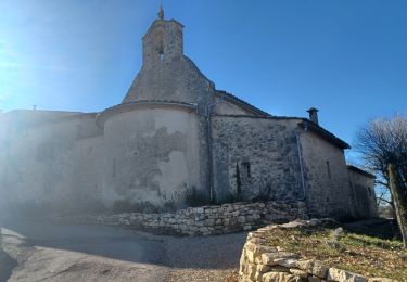
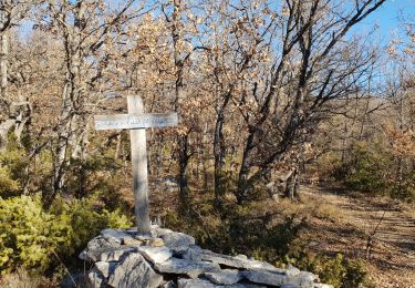
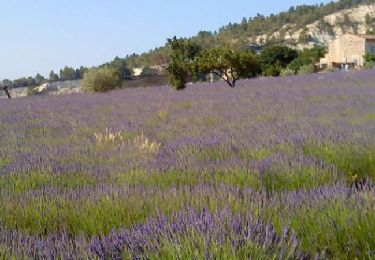
50 Fotos insgesamt. Klicken Sie auf ein Foto, um sie alle in der Galerie zu sehen.
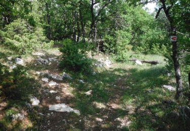
Wandern
Wandern
Fahrrad

Wandern

Wandern
Mountainbike
Wandern
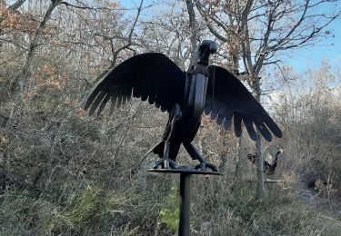
Wandern
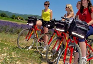
Fahrrad