


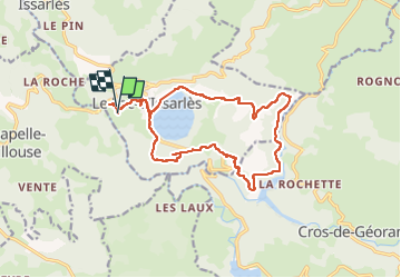

72 km | 91 km-effort

Benutzer GUIDE


Kostenlosegpshiking-Anwendung
 SityTrail
IGN / Geografische Institute
SityTrail World
Die Welt öffnet sich für Sie
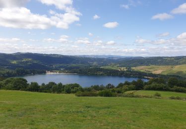
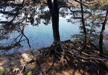
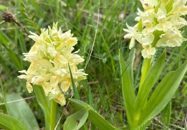
Tour Laufen von 16,8 km verfügbar auf Auvergne-Rhone-Alpen, Ardèche, Le Lac-d'Issarlès. Diese Tour wird von nadd73 vorgeschlagen.
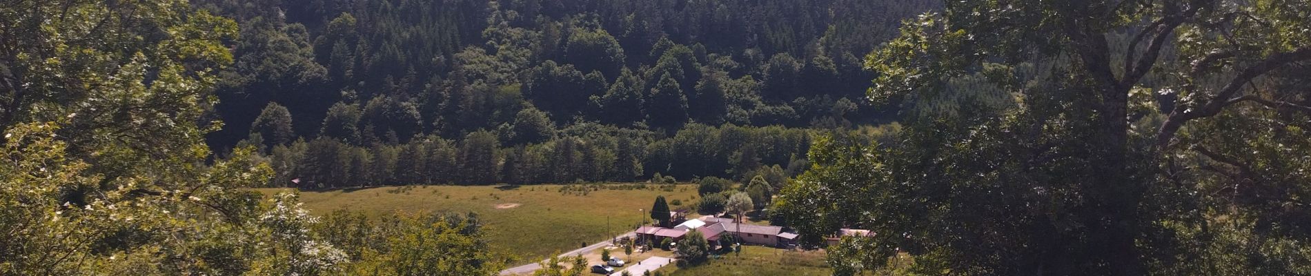
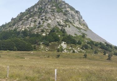
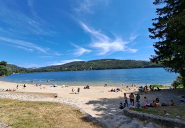
De la longueur, parfois sur route 😒, mais de beaux points de vue. Et surtout baignade bien méritée !


Rennrad
Wandern

Zu Fuß
Wandern
Wandern

Mountainbike
Mountainbike
Mountainbike

sport