


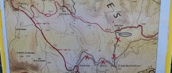

11,2 km | 14,8 km-effort

Benutzer


Kostenlosegpshiking-Anwendung
 SityTrail
IGN / Geografische Institute
SityTrail World
Die Welt öffnet sich für Sie
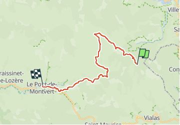
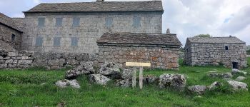
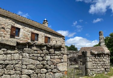
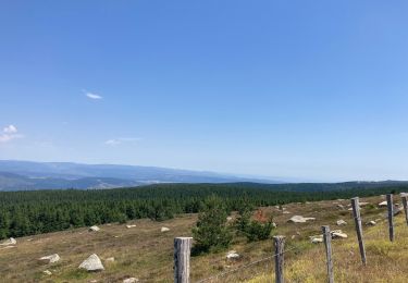
Tour Zu Fuß von 23 km verfügbar auf Okzitanien, Lozère, Vialas. Diese Tour wird von canardDenis vorgeschlagen.
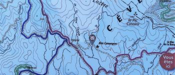
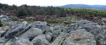
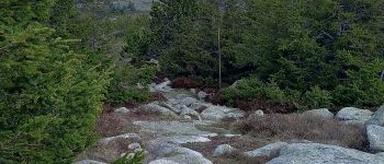
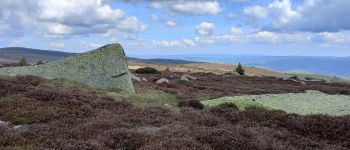
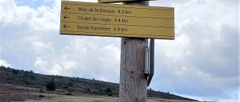
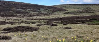
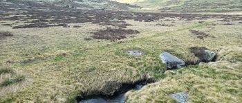
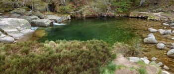
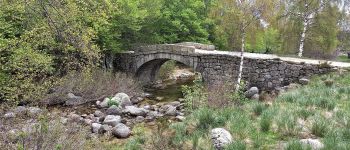
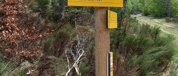
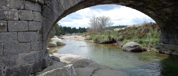
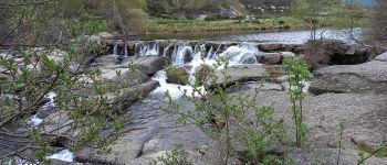
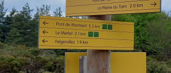
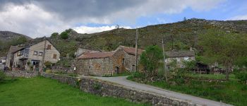
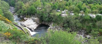
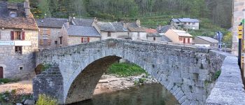
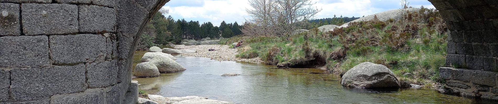
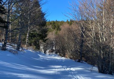
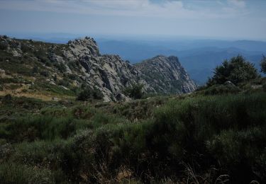
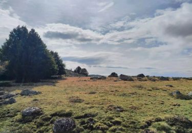
Deuxème étape au long du Tarn. Du Mas de la Barque monter au sommet du Pic Cassini puis aller chercher les sources du Tarn vers
la Peyre Plantade et suivre son cours naissant par Pont du Tarn jusqu'à Pont de Montvert


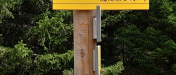
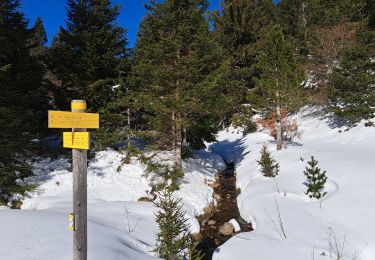
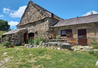
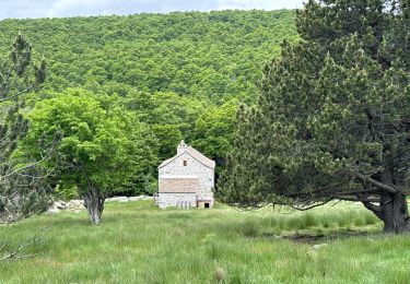
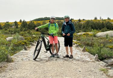
35 Fotos insgesamt. Klicken Sie auf ein Foto, um sie alle in der Galerie zu sehen.
Wandern
Wandern

sport
sport
Wandern
Wandern
Wandern
Elektrofahrrad
Zu Fuß