


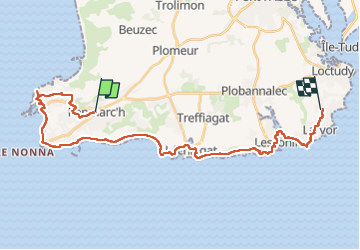

18,2 km | 19,3 km-effort

Benutzer GUIDE


Kostenlosegpshiking-Anwendung
 SityTrail
IGN / Geografische Institute
SityTrail World
Die Welt öffnet sich für Sie
Tour Zu Fuß von 30 km verfügbar auf Bretagne, Finistère, Penmarc'h. Diese Tour wird von chessyca vorgeschlagen.
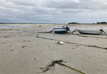
Journée 6 du périple
Fichier du groupe ayant fait la totalité du circuit cad avec le détour pour récupérer les courses


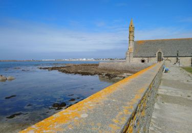
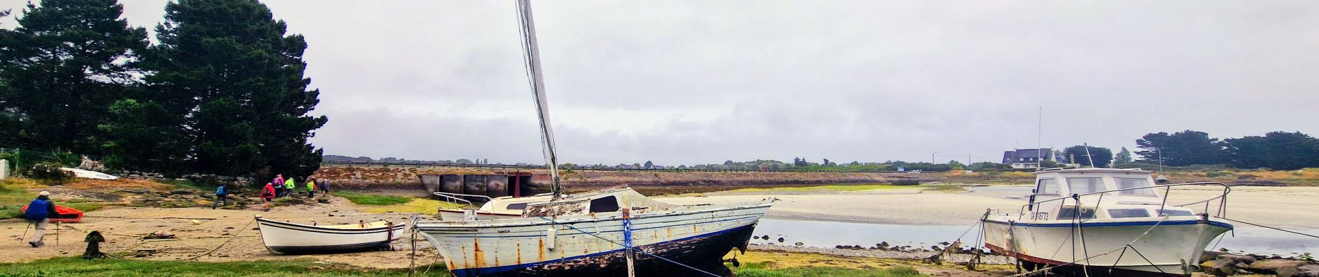
Wandern

Wandern
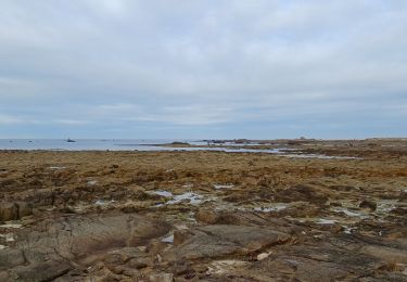
Wandern
Wandern
Mountainbike

Mountainbike
Wandern
Wandern